
Country United States GNIS feature ID 454037 Area 94.2 km² Population 10,260 (2010) | FIPS code 18-81836 Elevation 298 m Local time Sunday 12:17 PM | |
 | ||
Weather 19°C, Wind S at 24 km/h, 41% Humidity | ||
Wayne Township is one of thirteen townships in Noble County, Indiana. As of the 2010 census, its population was 10,260 and it contained 4,554 housing units.
Contents
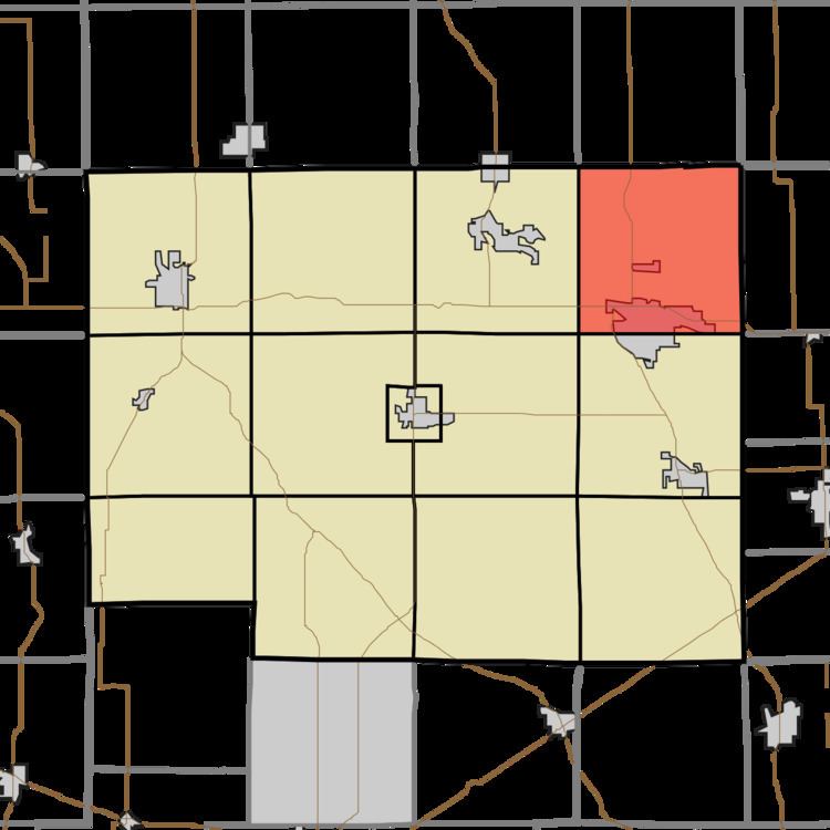
Map of Wayne Township, IN, USA
Geography
According to the 2010 census, the township has a total area of 36.37 square miles (94.2 km2), of which 35.46 square miles (91.8 km2) (or 97.50%) is land and 0.91 square miles (2.4 km2) (or 2.50%) is water. Sand Hill, the second highest named point in Indiana, is located in northeastern Wayne Township, near the intersection of county roads 1000E and 1100N.
Major highways
References
Wayne Township, Noble County, Indiana Wikipedia(Text) CC BY-SA