
Elevation 902 m (2,959 ft) Postal code 78xxx Area 740 km² Area code 370 | Time zone EET (UTC+2) Licence plate 78 Local time Wednesday 2:18 AM | |
 | ||
Weather 4°C, Wind S at 10 km/h, 74% Humidity | ||
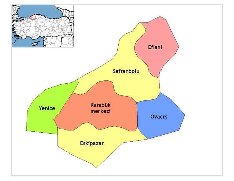
Eskipazar is a town and district of Karabük Province in the Black Sea region of Turkey. According to the 2000 census, the population of the district was 16,365, of whom 8,457 lived in the town of Eskipazar. The district covers an area of 740 km2 (286 sq mi), and the town lies at an elevation of 902 m (2,959 ft). It separated from Çerkeş district to become a district in its own right in 1945. It was a district in Çankırı Province until 1995. The Ankara-Zonguldak railway passes through the district.
Contents
Map of Eskipazar, 78400 Eskipazar%2FKarab%C3%BCk, Turkey
Eskipazar 2005
History
The city was founded about 1300 BC by the Hittites. It became part of the Roman Empire in the 1st century BC, and its name was changed to Hadrianopolis, better known as Hadrianopolis in Paphlagonia, in the 2nd century AD. The city was captured by Emir Karatekin, along with Çankırı, and named Viranşehir. The name was changed to Eskipazar during the Second Constitutional Era.