
 | ||
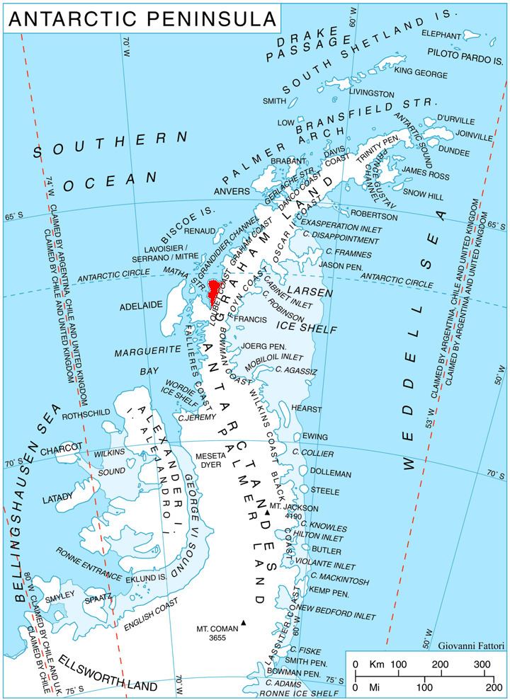
Erovete Peak (Bulgarian: връх Еровете, ‘Vrah Erovete’ \'vr&h 'e-ro-ve-te) is the rocky peak rising to 1300 m on the west coast of Pernik Peninsula, Loubet Coast in Graham Land, Antarctica. The feature has steep and partly ice-free west and southeast slopes, and surmounts Lallemand Fjord to the west, Haefeli Glacier to the southeast, and the lower courses of Finsterwalder Glacier and Sharp Glacier to the south.
Contents
The peak is named after the settlement of Erovete in Southern Bulgaria.
Location
Erovete Peak is located at 67°14′56″S 66°23′09″W, which is 4.6 km south of Zhelev Peak, 12.2 km north-northwest of Armula Peak, 14 km east-northeast of Bartholin Peak and 15.6 km southeast of Hooke Point. British mapping in 1978.
Maps
References
Erovete Peak Wikipedia(Text) CC BY-SA