
 | ||
Armula Peak (Bulgarian: връх Армула, ‘Vrah Armula’ \'vr&h ar-'mu-la) is the ice-covered peak rising to 900 m in the west foothills of Hemimont Plateau, Loubet Coast in Graham Land, Antarctica. The feature has steep and partly ice-free south slopes, and surmounts Klebelsberg Glacier to the south, and Finsterwalder Glacier to the north and northwest.
Contents
The peak is named after the ancient Thracian settlement of Armula in Western Bulgaria.
Location
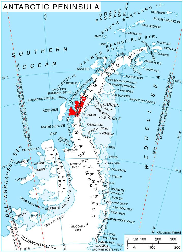
Armula Peak is located at 67°21′21″S 66°19′30″W, which is 8.75 km south-southeast of Erovete Peak, 11 km north of Smilyan Bastion and 14.8 km east-northeast of Quervain Peak. British mapping in 1978.
Maps
References
Armula Peak Wikipedia(Text) CC BY-SA