Established 1913 Founded 1913 Postal code 6490 | Postcode(s) 6490 Elevation 320 m Local time Wednesday 1:40 PM | |
 | ||
Weather 37°C, Wind NW at 27 km/h, 12% Humidity | ||
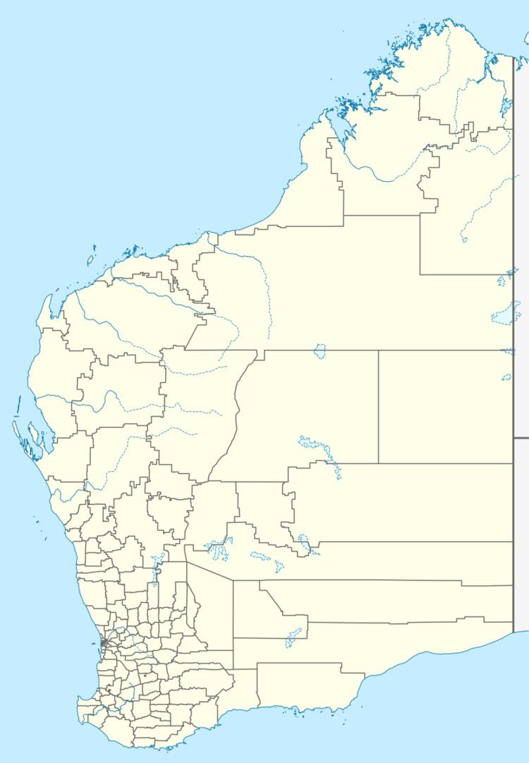
Elabbin is a small town between Merredin and Mukinbudin in the Wheatbelt region of Western Australia.
Map of Elabbin WA 6490, Australia
Originating as a railway siding on the Dowerin to Merredin railway line when constructed in 1912. A demand for land was created by the growth of farming in the area and the town was gazetted in 1913.
Additional agricultural land was opened to selectors in the district close to town in 1917.
The third CBH class locomotive in service for the CBH Group for grain haulage, was named after this locality.
References
Elabbin, Western Australia Wikipedia(Text) CC BY-SA
