
Population 142 (2006 census) Postcode(s) 6490 Postal code 6490 | Established 1910s Elevation 296 m Local time Tuesday 12:01 PM | |
 | ||
Weather 23°C, Wind NE at 29 km/h, 45% Humidity | ||
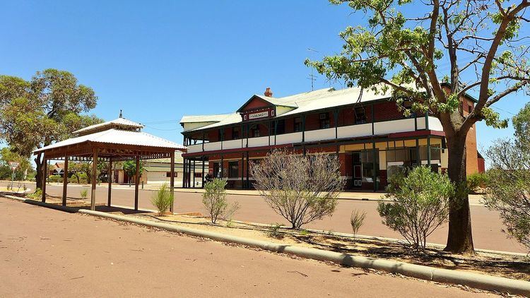
Nungarin is a town located in the North Eastern Wheatbelt region of Western Australia, approximately 278 kilometres (173 mi) east of Perth and 39 kilometres (24 mi) north of Merredin. It is the main town in the Shire of Nungarin. At the 2006 census, Nungarin had a population of 142.
Contents
Map of Nungarin WA 6490, Australia
The surrounding areas produce wheat and other cereal crops. The town is a receival site for Cooperative Bulk Handling.
History
In October 1910, 1,486 acres (6.01 km2) at Avon Location 14227 and 14230 were set aside as a townsite reserve along the Dowerin to Merredin railway. The townsite itself was gazetted in 1912.
The local Hall was being built in 1919, and was open by the following year. . A large fire in 1922 destroyed Messrs Thomas and Thicks store along with the post office branch and the managers residence of the Nungarin Farmers Cooperative Society. It was not known what caused the fire which caused damage estimated at £12,000. The Farmers Cooperative reopened in the Hall and the post office moved to the station building.
In 1932 the Wheat Pool of Western Australia announced that the town would have two grain elevators, each fitted with an engine, installed at the railway siding. Construction of the bins for the bulk handling of wheat commenced late in 1933 with 30 men employed to complete the work.
During the second world war it was an important army ordnance camp – 5 Base Ordnance Depot was established at the Nungarin Army Depot and Workshop. The site for the Army Depot was apparently selected as it was outside the range of Japanese carrier-based aircraft, and was readily accessible by the rail network.
In 1946 a number of fires damaged army property In the post war era it was a site of large disposal sales
The former army camp is now the site of the Nungarin Heritage Machinery and Army Museum The former Nungarin railway station building has been relocated to the Bennett Brook Railway at Whiteman Park in Perth.
Politics
Polling place statistics are shown below showing the votes from Nungarin in the federal and state elections as indicated.