
- elevation 349 m (1,145 ft) | - elevation 258 m (846 ft) | |
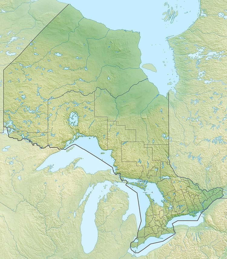 | ||
- location Clouston Township, Algoma District | ||
The Dunrankin River is a river in Algoma District and Sudbury District in northeastern Ontario, Canada. It is in the James Bay drainage basin, begins at Lloyd Lake and is a left tributary of the Kapuskasing River.
Contents
Course
The river begins at the southeast end of Lloyd Lake in geographic Lloyd Township, Sudbury District, and flows east via a channel to Upper Dunrankin Lake before heading north into geographic Kirkwall Township in Algoma District to Dunrankin Lake. It heads north from the lake, loops briefly west through geographic Lerwick Township, heads northeast to take in the right tributary Kirkwall River, then continues northeast to the railway point of Dunrankin on the Canadian National Railway transcontinental railway main line, completed in 1915 as the Canadian Northern Railway, passed but not served by Via Rail transcontinental Canadian trains. The river passes northeast under the line, enters geographic Stefansson Township, and takes in the right tributary East Dunrankin River. It continues northeast, splits over a series of rapids, enters geographic Amundsen Township, heads northeast into geographic Clouston Township, then turns east and reaches its mouth at the Kapuskasing River. The Kapuskasing River flows via the Mattagami River and the Moose River to James Bay.