
Congr. district 1st district Time zone PST (UTC+8) Area 435 km² | Barangays Zip Code 5310 Area code 48 Dialling code 48 | |
 | ||
Neighborhoods Bacao, Bohol, Capayas, Santa Teresita, Danleg, Culasian | ||
Dumaran is a third class municipality in the province of Palawan, Philippines. According to the 2010 census, it has a population of 21,397 people.
Contents
- Map of Dumaran Palawan Philippines
- My summer vacation dumaran island palawan
- Barangays
- Demographics
- Culture
- References
Map of Dumaran, Palawan, Philippines
The municipality covers the southern part of the namesake Dumaran Island (where the poblacion is located), as well as a portion on Palawan Island. It is bounded on the north-east by Municipality of Araceli, on the south by Sulu Sea, on the south-west by Roxas, and on the north-west by the municipality of Taytay. Dumaran also celebrate the Kalabukay Festival - Kalabukay refers to a local bird that is common to the people of Dumaran. The Municipality of Dumaran is in rich with natural resources. The majority of the people living in Dumaran are farmer and fisherman.
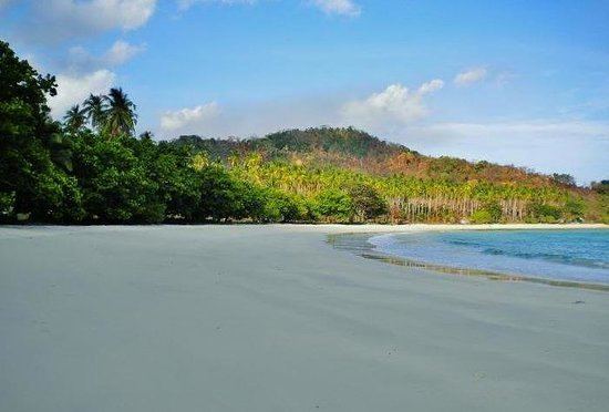
My summer vacation dumaran island palawan
Barangays
Dumaran is politically subdivided into 16 barangays, 9 barangays on the mainland of Palawan, and 7 barangays on Dumaran Island.
Demographics
The dominant language is Cuyonon, while Bisaya and Tagalog are spoken as secondary languages.
Culture
In relation to its foundation day June 14, Dumaran celebrates Kalabukay Festival annually from June 14–18.