
Country United States GNIS feature ID 0453266 Area 73.3 km² Population 860 (2010) | Elevation 174 m Local time Monday 8:38 PM | |
 | ||
Weather 14°C, Wind S at 21 km/h, 84% Humidity | ||
Driftwood Township is one of twelve townships in Jackson County, Indiana, United States. As of the 2010 census, its population was 860 and it contained 365 housing units.
Contents
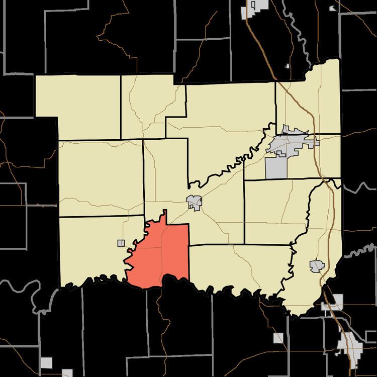
- Map of Driftwood Township IN USA
- History
- Geography
- Unincorporated towns
- Extinct towns
- Adjacent townships
- Cemeteries
- Major highways
- References
Map of Driftwood Township, IN, USA
History
Cavanaugh Bridge, Joseph Jackson Hotel, Medora Covered Bridge, and Picnic Area-Jackson State Forest are listed on the National Register of Historic Places.
Geography
According to the 2010 census, the township has a total area of 28.3 square miles (73 km2), of which 27.66 square miles (71.6 km2) (or 97.74%) is land and 0.64 square miles (1.7 km2) (or 2.26%) is water. The stream of Mill Creek runs through this township.
Unincorporated towns
Extinct towns
Adjacent townships
Cemeteries
The township contains four cemeteries: Empson, Harrell, Peters and Smith.
Major highways
References
Driftwood Township, Jackson County, Indiana Wikipedia(Text) CC BY-SA