
Country United States Elevation 159 m Local time Saturday 12:37 PM | GNIS feature ID 0453339 Area 103 km² Population 668 (2010) | |
 | ||
Weather 6°C, Wind W at 23 km/h, 63% Humidity | ||
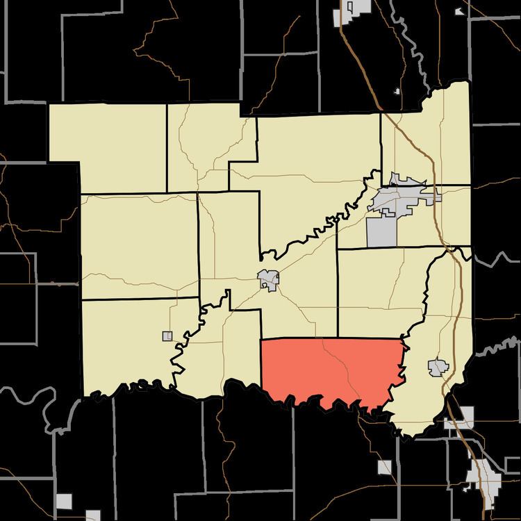
Grassy Fork Township is one of twelve townships in Jackson County, Indiana, United States. As of the 2010 census, its population was 668 and it contained 288 housing units. It was named from the Grassy Fork Creek.
Contents
- Map of Grassy Fork Township IN USA
- Geography
- Unincorporated towns
- Adjacent townships
- Cemeteries
- Major highways
- References
Map of Grassy Fork Township, IN, USA
Geography
According to the 2010 census, the township has a total area of 39.75 square miles (103.0 km2), of which 39.67 square miles (102.7 km2) (or 99.80%) is land and 0.08 square miles (0.21 km2) (or 0.20%) is water. The streams of Grassy Fork, Knob Creek and Pond Creek run through this township.
Unincorporated towns
Adjacent townships
Cemeteries
The township contains eleven cemeteries: Blair, Lubker, Mount Pleasant, Pioneer, Riechers/Niermans, Rucker, Russell Chapel, Stunkel, Sturgeon, Tuell, and Waskom.
Major highways
References
Grassy Fork Township, Jackson County, Indiana Wikipedia(Text) CC BY-SA