
Country United States Elevation 168 m Local time Saturday 4:20 PM | GNIS feature ID 0453143 Area 164.8 km² Population 5,552 (2010) | |
 | ||
Weather 12°C, Wind SE at 11 km/h, 30% Humidity | ||
Brownstown Township is one of twelve townships in Jackson County, Indiana, United States. As of the 2010 census, its population was 5,552 and it contained 2,308 housing units.
Contents
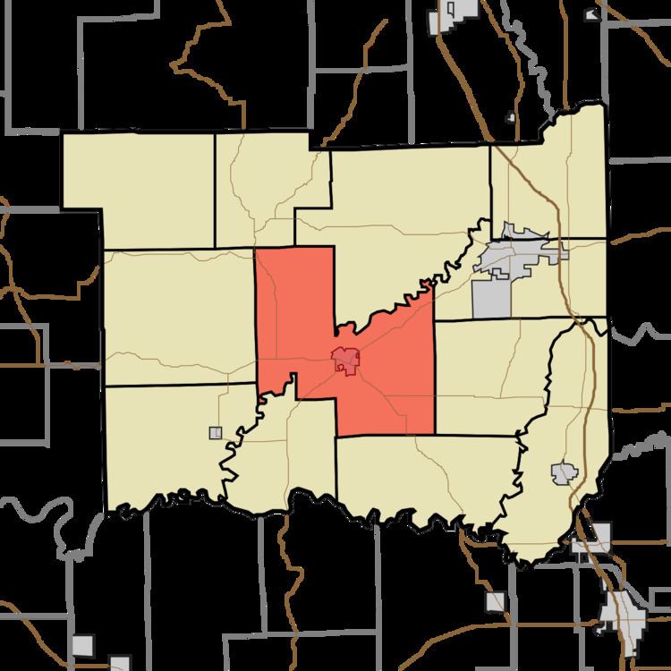
- Map of Brownstown Township IN USA
- History
- Geography
- Cities and towns
- Unincorporated towns
- Adjacent townships
- Cemeteries
- Major highways
- References
Map of Brownstown Township, IN, USA
History
Brownstown Township was organized in 1817, and took its name from Brownstown, the county seat. Shields' Mill Covered Bridge was listed on the National Register of Historic Places in 2016.
Geography
According to the 2010 census, the township has a total area of 63.62 square miles (164.8 km2), of which 62.72 square miles (162.4 km2) (or 98.59%) is land and 0.9 square miles (2.3 km2) (or 1.41%) is water. The streams of Ballard Creek, Hough Creek, Kiper Creek, Spray Creek, West Branch White Creek and White Creek run through this township.
Cities and towns
Unincorporated towns
Adjacent townships
Cemeteries
The township contains ten cemeteries: Burrell, Durland, First German Presbyterian, Miller, Robertson, Saint Pauls, Smallwood, Wayman, Weathers and Woodmansee.