
Max. length 60 mi (97 km) | Primary inflows Basin countries United States Area 115 km² | |
 | ||
Location Jefferson / Cocke / Sevier / Hamblen counties, State of Tennessee | ||
3b outdoors tv bass fishing on douglas lake dandridge tn
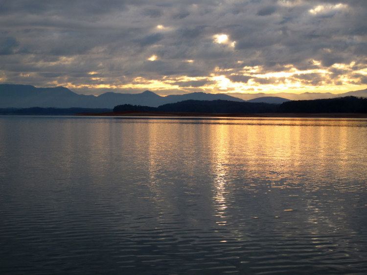
Douglas Lake, also called Douglas Reservoir, is a reservoir created by an impoundment of the French Broad River in Eastern Tennessee. This lake is located only a few miles from the Pigeon Forge/Gatlinburg area, and also the Great Smoky Mountains National Park. See also, Douglas Dam for more information.
Contents
- 3b outdoors tv bass fishing on douglas lake dandridge tn
- Map of Douglas Lake Tennessee USA
- 3b outdoors tv douglas lake go big or go home
- References
Map of Douglas Lake, Tennessee, USA
The Douglas Dam was built by the Tennessee Valley Authority at a record pace from February 2, 1942, through February 19, 1943, to provide hydroelectric power and to control flooding downstream in the Tennessee River Valley. Douglas Dam is located just over 32 miles (51 km) upstream from the French Broad River's confluence with the Holston River in Knoxville, to form the Tennessee River. The Douglas Lake reservoir inundates about a 40-mile (64 km) stretch of the French Broad River between the Douglas Dam and the Irish Bottoms area near Newport. Small portions of the Nolichucky and Pigeon rivers are also impounded by the lake.
The resort town of Baneberry is located on the northern shores of the lake in Jefferson County. Dandridge, the county seat of Jefferson County, is located mostly on the northern shores with a small portion on the southern. Parts of downtown Dandridge are located below the lake's operating levels, and are protected by an earthen dam.