
Founded June 11, 1792 Website jeffersoncountytn.gov Population 52,123 (2013) Unemployment rate 5.9% (Apr 2015) | Area 813.3 km² | |
 | ||
Jefferson County is a county located in the U.S. state of Tennessee. As of the 2010 census, the population was 51,407. Its county seat is Dandridge.
Contents
- Map of Jefferson County TN USA
- History
- Geography
- Adjacent counties
- State protected areas
- Major Highways
- Demographics
- Government
- Education
- Cities
- Towns
- Unincorporated communities
- References
Map of Jefferson County, TN, USA
Jefferson County is part of the Morristown, TN Metropolitan Statistical Area as well as the Knoxville-Morristown-Sevierville, TN Combined Statistical Area.
History
Jefferson County was established on June 11, 1792, by William Blount, Governor of the Southwest Territory. It had been a part of Caswell County during the State of Franklin period (1784–1789). Its county seat, Dandridge, was settled in 1783.
On the eve of the Civil War, Jefferson County, like most other counties in mountainous East Tennessee, was opposed to secession. In Tennessee's Ordinance of Secession referendum on June 8, 1861, Jefferson County voters rejected secession by a margin of 1,987 to 603. A railroad bridge at Strawberry Plains was among those targeted by the East Tennessee bridge-burning conspiracy in November 1861. This led to internal conflict in the area throughout the war, with men from the county enlisting in both of the rival armies.
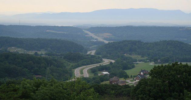
Geography
According to the U.S. Census Bureau, the county has a total area of 314 square miles (810 km2), of which 274 square miles (710 km2) is land and 40 square miles (100 km2) (13%) is water. The county is affected by two artificial lakes: Douglas Lake, created by the damming of the French Broad River in the south, and Cherokee Lake, created by the damming of the Holston River in the north.
Adjacent counties
State protected areas
Major Highways
Demographics
As of the census of 2000, there were 44,294 people, 17,155 households, and 12,608 families residing in the county. The population density was 162 people per square mile (62/km²). There were 19,319 housing units at an average density of 71 per square mile (27/km²). The racial makeup of the county was 95.66% White, 2.32% Black or African American, 0.31% Native American, 0.27% Asian, 0.04% Pacific Islander, 0.63% from other races, and 0.77% from two or more races. 1.33% of the population were Hispanic or Latino of any race.
There were 17,155 households out of which 31.00% had children under the age of 18 living with them, 59.90% were married couples living together, 9.80% had a female householder with no husband present, and 26.50% were non-families. 22.50% of all households were made up of individuals and 8.20% had someone living alone who was 65 years of age or older. The average household size was 2.49 and the average family size was 2.89.
In the county, the population was spread out with 22.90% under the age of 18, 10.60% from 18 to 24, 29.10% from 25 to 44, 24.50% from 45 to 64, and 12.90% who were 65 years of age or older. The median age was 36 years. For every 100 females there were 97.50 males. For every 100 females age 18 and over, there were 94.00 males. However, the last statistic is somewhat misleading because of female longevity, and if adults 18-65 were considered, the numbers would be very close to equal.
The median income for a household in the county was $32,824, and the median income for a family was $38,537. Males had a median income of $29,123 versus $20,269 for females. The per capita income for the county was $16,841. About 9.60% of families and 13.40% of the population were below the poverty line, including 16.90% of those under age 18 and 12.60% of those age 65 or over.
Government
Jefferson County's current mayor is Alan Palmieri. The county has 21 commissioners, two from each of the ten districts, with White Pine electing three.
Education
K-12 public education in the county is conducted by Jefferson County Public Schools.