
Topo map USGS Koip Peak Range Sierra Nevada | Elevation 3,370 m | |
 | ||
Similar | ||
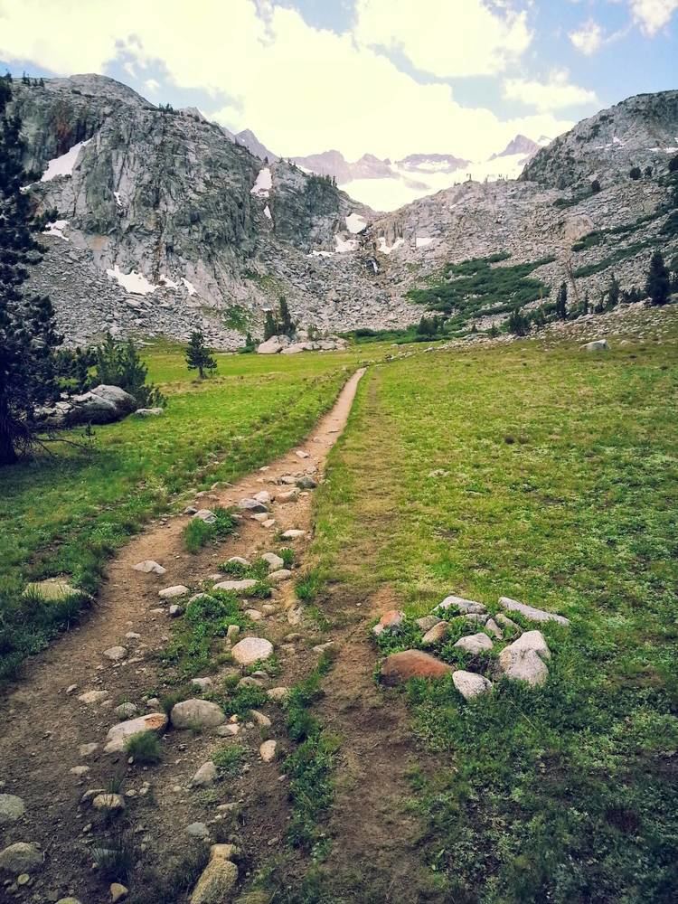
Donohue Pass is a high mountain pass on the boundary between Yosemite National Park and the Ansel Adams Wilderness. Its elevation is 11,066 feet (3,373 m). It is situated between Mount Lyell and Donohue Peak. The John Muir Trail and the Pacific Crest Trail both transverse the pass. Following the John Muir Trail, the pass is 6.3 miles (10.1 km) from Thousand Island Lake, and 12.8 miles (20.6 km) from Tuolumne Meadows. Donohue Pass is the sixth highest pass of the ten named passes on the John Muir Trail.
Map of Donohue Pass, California 95389, USA
The pass and Donohue Peak were named in 1895 for Sargent Donohue, Troop K, 4th Cavalry who made the first ascent of the peak.
References
Donohue Pass Wikipedia(Text) CC BY-SA