
Type Track | Length 249 km (155 mi) | |
 | ||
West end East end | ||
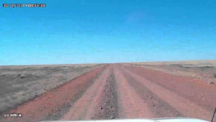
Video 325 donohue highway herbert downs st t o to boulia
The Donohue Highway is 249 km (155 mi) mostly unpaved outback track that leads through the northern foothills of the Simpson Desert in Queensland to Tobermorey Homestead, Northern Territory near the Northern Territory/Queensland border.
Contents
- Video 325 donohue highway herbert downs st t o to boulia
- Map of Donohue Hwy Queensland Australia
- Major intersections
- References
Map of Donohue Hwy, Queensland, Australia
The road branches from the Diamantina Developmental Road 7 km (4 mi) north-west of Boulia and proceeds towards the Northern Territory. The Georgina River is at about the 166 km mark and 83 km further is Tobermorey, a town with 20 inhabitants. From here the trail continues as the Plenty Highway towards Alice Springs. The route is mostly unpaved and marked by corrugations, deep potholes and bulldust (fine red desert dust). However, in 2009 further development in the form of river crossings were initially attached and further parts of the road are paved. Despite the improvements to the track, it is often impassable after heavy rain.
The Donohue Highway along its entire length forms part of the Outback Highway, which runs 2,800 km through central Australia.
Major intersections
This route has no major intersections.