
OS grid reference SJ705131 Post town TELFORD Dialling code 01952 Civil parish Muxton | Sovereign state United Kingdom Postcode district TF2 Local time Friday 10:46 AM | |
 | ||
Weather 11°C, Wind S at 13 km/h, 78% Humidity | ||
71 oakengates road donnington telford
Donnington is located in the borough of Telford and Wrekin and ceremonial county of Shropshire, England. The population of Donnington Ward within the mentioned borough was 6,883 at the 2011 Census. Aside from the rest of urban Telford, which is to the southwest, Donnington is surrounded by fields and countryside.
Contents
- 71 oakengates road donnington telford
- Map of Donnington Telford UK
- Donnington telford
- History
- Retail
- References
Map of Donnington, Telford, UK
Donnington telford
History
The original Donnington village was to the northeast of the current centre of Donnington and was under the Duke of Sutherland's estate. It was a minor industrial centre where "Walker's works" (C&W Walker Ltd) iron works produced components of gasometers and ship's engines. The Clock Tower restaurant commemorates the landmark Walker's Clock which now sits on a road island near where "Walker's works" once was and just a hundred metres north from the centre of the original village of Donnington. Only 600 yards further north, at The Humbers, iron-making is thought to have taken place since the late 16th Century, with the name 'Humbers' deriving from a set of water-driven ‘hammers’ which in 1580 were owned by the Duke of Sutherland (whose Lilleshall Ironworks was one of the first blast furnaces in the West Midlands). The Hammers were located on or near the site of a mill on Lubstree Pool, which before the dissolution of the monasteries had belonged to the Canons of the nearby Lilleshall Abbey.
At the original Donnington village centre was a coal wharf linked by rail to the Granville Colliery, Shropshire's last deep coal mine. This mine tapped into the Donnington Wood coalfield (where most of the local coal and ironstone reserves are located and which once came to the surface where it was mined in the 18th Century at Donnington Wood). In 1818 the Lilleshall Company began sinking a number of deep mines around Donnington Wood, extracting over 400,000 tons of coal a year from the area by 1871. This industrial heritage links the original Donnington village to the Industrial Revolution that Telford proudly asserts began with the first large scale smelting of iron using coke in the Coalbrookdale area of Telford.
The centre of Donnington is actually the centre of New Donnington, a housing development that began in the late 1930s when the War Office bought land to house the workers who would be employed at the Donnington Army Ordnance Depot, which was established in 1936 and remains in use as a logistics base.
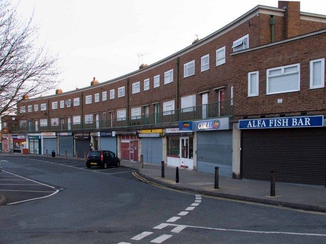
Retail
Recently, Donnington has added an Asda superstore and an Aldi supermarket to the Co-op supermarket that already existed and a Home Bargains supermarket has replaced the Netto supermarket in the centre of Donnington on the site of the old pub "The Champion Jockey" and has since been replaced by Home Bargains.
The Telford International Railfreight Park has been recently developed on a 48 acres (0.19 km2) site formerly part of the MoD depot, given rail access by rebuilding 2.5 miles (4.0 km) of the former Shropshire Union Railway west towards Wellington. It is expected this development will attract more light industry to the industrial estates near Donnington.
Donnington is home to a small amateur dramatics company "The Little Theatre" and each year the Broadoaks playing fields play host to a free Guy Fawkes fair and bonfire night.