
Country India Elevation 22 m Population 363,976 (2011) | Time zone IST (UTC+5:30) Telephone/STD code 03471 Area 304.3 km² Area code 03471 | |
 | ||
Domkal is a community development block that forms an administrative division in Domkol subdivision of Murshidabad district in the Indian state of West Bengal. Domkal police station serves this block. Headquarters of this block is at Domkal. It is located 34 km from Baharampur, the district headquarters.
Contents
Location
Domkal is located at 24°08′28″N 88°31′43″E
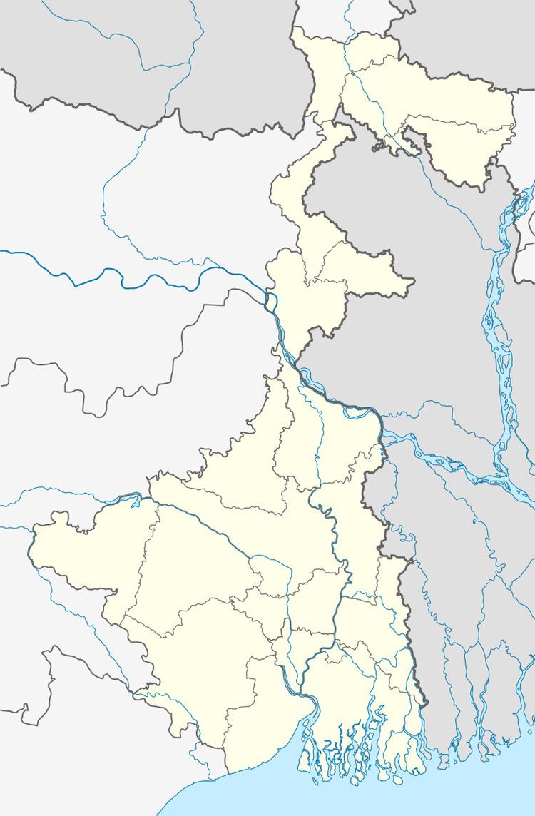
Domkal CD Block is bounded by Raninagar I and Raninagar II CD Blocks in the north, Jalangi CD Block in the east, Karimpur I CD Block, in Nadia district, in the south and Hariharpara CD Block in the west.
Area
Domkal CD Block has an area of 304.27 km2.
Physical features
The Bhagirathi divides the district into two parts namely Bagri on the east and Rahr on the west. The Padma separates the district from Malda district, and Chapai Nawabganj and Rajshahi districts of Bangladesh.
Gram panchayats
Gram panchayats of Domkal block/ panchayat samiti are: Azimganjgola, Bhagirathpur, Dhulauri, Domkal, Garaimari, Ghoramara, Goribpur, Jitpur, Juginda, Juranpur, Madhurkul, Raipur and Sarangpur.
Population
As per 2011 Census of India Domkal CD Block had a total population of 363,976, all of which were rural. There were 186,182 (51%) males and 177,794 (49%) females. Population below 6 years numbered 45,641. Scheduled Castes numbered 9,515 and Scheduled Tribes numbered 1,219.
As per 2001 census, Domkal block has a total population of 311,683, out of which 160,562 were males and 151,121 were females. Domkal block registered a population growth of 23.03 per cent during the 1991-2001 decade. Decadal growth for the district was 23.70 per cent.Decadal growth in West Bengal was 17.84 per cent.
Large villages
Large villages in Domkal CD Block were (2011 population figure in brackets): Gokulpur Gobindapur (8,270), Bagharpur Ramna (7,525), Jitpur (11,016), Radhakantapur (4,041), Dhulauri (6.959), Jot Kamal (6,170), Par Raghunathpur (5,802), Taraf Rasulpurpatnipara (19,958), Raypur (13,285), Bhatsala (5,720), Ramna Etbarnagar Basantapur (8,409), Lakshminathpur (10,122), Sibnagar Laskarpur (15,887), Sabdalpur (4,948), Garibpur (12,788), Chandpur (4,879), Pardiar (5,097), Juranpur (5,743), Kusbaria (5,153), Juginda (13,891), Aminabad (10,496), Mamenpur (10,187), Garaimari (29,260), Kuchemora (6,917), Sahadiar (5,275) and Kupila (8,922).
Literacy
As per 2011 census the total number of literates in Domkal CD Block was 203,429 (55.89% of the population above 6 years) out of which 105,034 (52%) were males and 98,395 (48%) were females.
As per 2011 census, literacy in Murshidabad district was 66.59.Literacy in West Bengal was 77.08% in 2011.Literacy in India in 2011 was 74.04%.
Language
Bengali is the local language in these areas.
Healthcare
Domkal block is one of the areas where ground water is affected by arsenic contamination.