
Country India Telephone/STD code 03472 Elevation 22 m Area code 03472 | Time zone IST (UTC+5:30) Area 252.8 km² Population 257,571 (2011) | |
 | ||
PIN 744166 (Hariharpara)742182 (Choa) | ||
Hariharpara is a community development block that forms an administrative division in Barhampur subdivision of Murshidabad district in the Indian state of West Bengal. Hariharpara police station serves this block. Headquarters of this block is at Hariharpara. It is located 19 km from Baharampur, the district headquarters.
Contents
Location
Hariharpara is located at 24°02′N 88°27′E
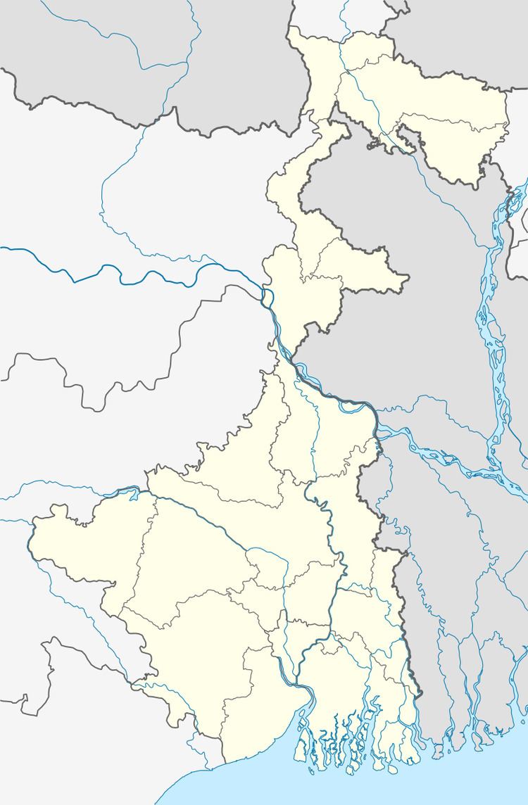
Hariharpara CD Block is bounded by Raninagar I CD Block in the north, Domkal CD Block in the east, Naoda CD Block in the south and Berhampore and Beldanga I CD Blocks in the west.
Area
Hariharpara CD Block has an area of 252.80 km2.
Physical features
The Bhagirathi divides the district into two parts namely Bagri on the east and Rahr on the west. The Padma separates the district from Malda district, and Chapai Nawabganj and Rajshahi districts of Bangladesh.
Gram panchayats
Gram panchayats of Hariharpara block/ panchayat samiti are: Beharia, Choa, Dharampur, Hariharpara, Humaipur, Khidirpur, Malopara, Raipur, Rukunpur, Swaruppur.
Population
As per 2011 Census of India Hariharpara CD Block had a total population of 257,571, all of which were rural. There were 131,634 (51%) males and 125,937 (48%) females. The population below 6 years numbered 30,693. Scheduled Castes numbered 16,403 and Scheduled Tribes numbered 3,040.
As per 2001 census, Hariharpara block has a total population of 221,701, out of which 114,524 were males and 107,185 were females. Hariharpara block registered a population growth of 19.50 per cent during the 1991-2001 decade. Decadal growth for the district was 23.70 per cent.Decadal growth in West Bengal was 17.84 per cent.
Large villages
Large villages in Hariharpara CD Block were (2011 census population figures in brackets): Bochadanga (4,260), Raypur (6,203), Masurdanga (4,760), Baruipara (7,663), Khidirpur (6,638), Kismad Imadpur (16,604), Lal Nagar (6,918), Jagannathpur (6,235), Biharia (12,2883), Tehatta (4,713), Pratappur (10,430), Rukunpur (18,663), Hariharpara (14,827), Dasturpara (6,235), Sankarpur (4,721), Lochanmati Dangapara (5,226), Tartipur (8,058), Swaruppur (9,835), Padmanabhpur (8,194), Choa (17,672), Sripur (7,973), Gaznipur (5,936) and Shahjadpur (6,602).
Literacy
As per 2011 census the total number of literates in Hariharpara CD Block was 157,008 (69.20% of the population above 6 years) out of which 81,316 (52%) were males and 75,682 (48%) were females.
As per 2011 census, literacy in Murshidabad district was 66.59.Literacy in West Bengal was 77.08% in 2011.Literacy in India in 2011 was 74.04%.
Language
Bengali is the local language in these areas.
Healthcare
Hariharpara block is one of the areas where ground water is affected by arsenic contamination.