Peak Cunningham Mountain Width 8 mi (13 km) | Elevation 3,314 ft (1,010 m) Country United States of America | |
 | ||
Length 30 mi (48 km) N-S-(NW-SE) Similar Plomosa Mountains, Trigo Mountains, New Water Mountains, Granite Wash Mountains, Harcuvar Mountains | ||
Day 5 cycling on i 10 in arizona dome rock mountains
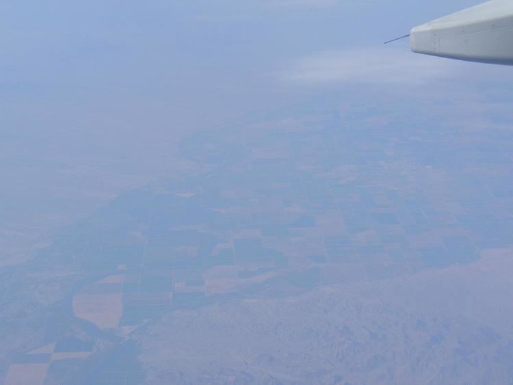
The Dome Rock Mountains are a regionally short mountain range in southwestern Arizona in southern La Paz County. The range borders the Colorado River–(Blythe, CA) on the west and also the southern section of the Colorado River Indian Reservation on the northwest located in the Lower Colorado River Valley. Quartzsite, Arizona lies on the eastern foothills of the range.
Contents
- Day 5 cycling on i 10 in arizona dome rock mountains
- Map of Dome Rock Mountains Arizona 85346 USA
- Full moon rising over dome rock mountains time lapse video
- Range summaryEdit
- Dome Rock Mountains accessEdit
- MineralsEdit
- References
Map of Dome Rock Mountains, Arizona 85346, USA
The Dome Rock Mountains are on the southwest of the regional Maria fold and thrust belt.
Full moon rising over dome rock mountains time lapse video
Range summaryEdit
The Dome Rock Mountains are a north-south trending range about 30 miles (48 km) long. Blythe, California and the Palo Verde Valley border the range on the west, adjacent to the north-south flowing Colorado River. Interstate 10 bisects the range connecting Blythe, CA–Ehrenberg, AZ on the Colorado River, with Quartzsite at the east of the mountains; Quartzsite at the central, and east mountains, lies on the western edge of the north-south 75-mile (121-km) long La Posa Plain which drains the western Kofa National Wildlife Refuge, and various mountain ranges-(the Dome Rock, Trigo Mountains, and Chocolate Mountains (Arizona) west, and the Castle Dome-Kofa Mountains southeast). The Tyson Wash Drainage flows north at the western perimeter of the La Posa Plain and turns westwards at the north end of the Dome Rock Mountains to meet the Colorado River region. The drainage does not connect to the river itself.
Cunningham Mountain at 3,314 feet (1,010 m) is the highest peak of the Dome Rock Mountains located towards the south, and about 8 miles (13 km) south of Interstate 10; in the north an unnamed peak rises to 2,515 feet (767 m). Numerous mines and dry washes are located in this extreme desert mountain range. The western mountain washes drain to the Imperial Reservoir Drainage of the Colorado River, and the eastern washes drain into the La Posa Plain and its north-flowing Tyson Wash Drainage, entering again at the northern parts of the Imperial Reservoir Drainage; the twin end-point of the Bouse Wash Drainage north does the same, at 15 miles (24 km) further.
Dome Rock Mountains accessEdit
The northern portion of the mountains can be accessed from the west via Arizona State Route 95; from the east through the Colorado River Indian Reservation, and I 10.
Quartzsite lying in the east center of the range gives numerous access points. Quartzsite is famous for a rockhounding show because of its desert location for rock exploration, and the numerous regional mountain ranges. Ehrenberg to the west accesses areas of the western mountain flank.
A winter visitor destination site is located on the southeast of the range on the La Posa Plain.
MineralsEdit
Sapphirine is a mineral noted for being found in the Dome Rock Mountains.
