
Elevation 3,639 ft (1,109 m) Width 6 mi (9.7 km) | Length 25 mi (40 km) N-S Country United States of America | |
 | ||
Peak Black Mesa (Plomosa Mountains) Similar Dome Rock Mountains, New Water Mountains, Harcuvar Mountains, Buckskin Mountains, Trigo Mountains | ||
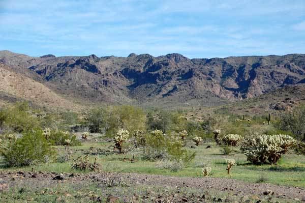
Quinn pass trail plomosa mountains quartzsite az
The Plomosa Mountains are a mountain range in La Paz County, Arizona, running generally south of Bouse, Arizona near the Arizona/California border. Quartzsite lies to the west across the La Posa Plain. The Harcuvar Mountains and Little Harquahala Mountains lie to the east across the Ranegras Plain. The New Water Mountains lie to the southeast beyond Black Mesa.
Contents
- Quinn pass trail plomosa mountains quartzsite az
- Map of Plomosa Mountains Arizona 85348 USA
- The toad in the plomosa mountains
- References
Map of Plomosa Mountains, Arizona 85348, USA
Interstate 10 crosses the center of the range. The Plomosa ghost town and mining camp lie on the southwest side of the range.
Evidence of both thrust faulting and strike-slip faulting is present in the Plomosa Mountains.
The highpoint of the range is Black Mesa (La Paz County) in the southern regions. Ibex Peak is a highpoint in the north.
The toad in the plomosa mountains
References
Plomosa Mountains Wikipedia(Text) CC BY-SA