
172 SR 173 → | Length 187.4 km | |
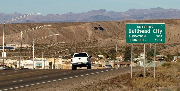 | ||
North end: SR 163 in Bullhead City | ||
State Route 95, also known as SR 95, is a north–south state highway along the western edge of Arizona that is split into two sections.
Contents
Map of AZ-95, Arizona, USA
Route description
The southern segment begins in Quartzsite at its junction with U.S. Route 95, traveling north to Parker then following the Colorado River until past Lake Havasu City, and finally intersecting Interstate 40. The northern segment (the Mohave Valley Highway) begins at the Colorado River bridge across from Needles, then goes directly northbound to Bullhead City, terminating at its junction with State Route 68 north of town.
There is a short SR 95 SPUR at Parker connecting to California State Highway 62, signed as State Route 95 Truck. Another spur exists at Parker Dam, and is signed as a spur from the mainline but is unmarked along the spur itself. In Lake Havasu City, SR 95 also connects to London Bridge.
As the primary north–south highway through much of the Arizona side of the Colorado River, SR 95 is an important thoroughfare for residents in the cities and towns of that area.
History
Formerly, SR 95 began in San Luis and ended in Bouse; the road south of Quartzsite was renumbered as part of US 95, while the road to Bouse was turned over to La Paz County to maintain. Parts of SR 95 around the town of Parker were once part of SR 72.