
Country Canada Population 38,566 (2011) | Area 13,866 km² | |
 | ||
University Red Crow Community College Points of interest Canadian Rockies, Head‑Smashed‑In Buffalo Jump, Crypt Lake Trail, Cameron Lake, Remington Carriage Museum Destinations Waterton Lakes National, Waterton Park, Cardston, Pincher Creek, Fort Macleod | ||
Division No. 3 is a census division in Alberta, Canada. It is located in the southwest corner of southern Alberta and its largest urban community is the Town of Claresholm.
Contents
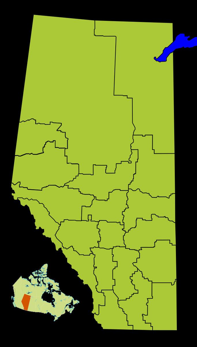
Map of Division No. 3, AB, Canada
Census subdivisions
The following census subdivisions (municipalities or municipal equivalents) are located within Alberta's Division No. 3.
Demographics
In the 2011 Census, Division No. 3 had a population of 38,566 living in 13,185 of its 14,764 total dwellings, a 1.9% change from its 2006 population of 37,846. With a land area of 13,866 km2 (5,354 sq mi), it had a population density of 2.8 people per square kilometre in 2011.
In 2006, Division No. 3 had a population of 37,846 living in 14,120 dwellings, a 0.7% increase from 2001. The census division has a land area of 13,866.22 km2 (5,353.78 sq mi) and a population density of 2.7 inhabitants per square kilometre.