
Country Canada Census division 3 Time zone MST (UTC-7) Elevation 1,121 m | Municipal district Cardston County Postal code span 403 / 587 Population 3,585 (2016) Local time Thursday 7:32 PM | |
 | ||
Weather 2°C, Wind S at 13 km/h, 61% Humidity | ||
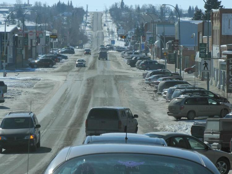
Cardston tourism 2015
Cardston is a town in southwest Alberta, Canada. Cardston was settled in 1887 by members of The Church of Jesus Christ of Latter-day Saints (Mormons) from Utah Territory who travelled via the Macleod-Benton Trail to Alberta in one of the century's last wagon migrations. They had departed April 6 and arrived June 3. The official founder of the town is Charles Ora Card, after whom the town is named. The combined church and school was completed by January 29 the following year after their arrival.
Contents
- Cardston tourism 2015
- Map of Cardston AB Canada
- Cardston parade 2014
- Geography
- Demographics
- Climate
- Economy
- Attractions
- Local attractions
- Regional attractions
- Education
- Media
- Notable people
- References
Map of Cardston, AB, Canada
Cardston parade 2014
Geography
Cardston is situated in the low foothills of southwest Alberta, approximately 25 km (15.53 mi) north from the American state of Montana. On its north side, it borders the Kainai Nation (Blood Tribe) Indian Reservation, one of the largest reserves in North America. 40 km (24.85 mi) to the west of Cardston are the Rocky Mountains of Waterton Lakes National Park. Cardston is 77 km (47.85 mi) southwest of Lethbridge and 234 km (145.40 mi) south of Calgary.
Demographics
In the 2016 Census of Population conducted by Statistics Canada, the Town of Cardston recorded a population of 3,585 living in 1,175 of its 1,270 total private dwellings, a 6999100000000000000♠0.1% change from its 2011 population of 3,580. With a land area of 8.59 km2 (3.32 sq mi), it had a population density of 417.3/km2 (1,080.9/sq mi) in 2016.
In the 2011 Census, the Town of Cardston had a population of 3,580 living in 1,208 of its 1,322 total dwellings, a 3.7% change from its 2006 population of 3,452. With a land area of 8.64 km2 (3.34 sq mi), it had a population density of 414.4/km2 (1,073.2/sq mi) in 2011.
The population of the Town of Cardston according to its 2007 municipal census is 3,578.
Source: Statistics Canada 2001 Census (numbers may not add up due to rounding)
Source: Statistics Canada 1996 & 2001 Census
Climate
Cardston experiences a humid continental climate (Köppen climate classification Dfb). Along with the rest of southern Alberta, Cardston is subject to chinooks, which often bring temperatures in mid-winter well above 10 °C (50 °F). This same pattern results in more than 200 days of wind a year.
Weather records:
Economy
Primary industries are education, health care, entrepreneurship, agriculture, and tourism. Cardston is one of the few communities in Canada where alcohol cannot be sold or purchased.
Attractions
Cardston has a soccer park, ball parks, a golf course, an ice skating rink, a swimming pool, tennis courts, hiking trails, a skateboard park, several recreation parks, picnic areas and playgrounds. The local schools and LDS Church buildings have gymnasiums. St. Mary's Dam reservoir northeast of Cardston supports water sports in the summer months.
Local attractions
Regional attractions
Waterton Lakes National Park is a national park in the southwest corner of Alberta, 40 km (25 mi) west of Cardston, and borders Glacier National Park in Montana, USA. Waterton Lakes was Canada's fourth national park, formed in 1895. Amid the peaks are the lakes of Waterton Lakes National Park, carved out of the rock by glaciers.
On April 29, 1903, at 4:10 a.m., the mining town of Frank, Alberta, was devastated by 82 million tonnes of limestone crashing down from Turtle Mountain. The Frank Slide Interpretative Centre in the Crowsnest Pass, 130 km (81 mi) northwest of Cardston, tells of one of the geatest natural disasters in Canadian history.
Castle Mountain Resort 90 km (56 mi) west of Cardston has kilometres of groomed skiing runs, natural half pipes, deep fresh powder, short lift lines and wide open spaces.
Writing-on-Stone Provincial Park, 125 km (78 mi) east of Cardston, is one of the largest areas of protected prairie in the Alberta park system, a nature preserve and protection for rock art created by Plains People. There are 50 rock art sites, with thousands of figures, as well as archaeological sites.
Police Outpost Provincial Park is 32 kilometres (20 mi) south of Cardston, on the Canada/United States border, on the shores of Outpost Lake.
Education
Schools include the Cardston High School, the Cardston Jr. High School (formerly Eastridge Elementary School), and Cardston Elementary School which are all under the Westwind School Division.
Former schools include Leeside (grades 1 and 2 - torn down in the late 1980s to make way for the Remington-Alberta Carriage Centre) and Westside. The building that housed many of the junior high facilities, E.J. Wood School (including the gymnasium near the current high school), Parkland School, and John S. Smith Schools were torn down in 1993 as the junior high moved to the former Eastridge building. The Cardston High School underwent extensive renovations in the early 2000s, including an expansion to its gymnasium, much-improved fitness and weight room facilities, wider hallways, and a new cafeteria.
Media
The Cardston News (1928-1958) and Cardston Record (1898-1899) have been digitized from microfilm and are available through the University of Lethbridge Library digitized collections.