
Country Canada Census division No. 3 Incorporated 1945 Population 2,965 (2016) Province Alberta | Region Southern Alberta Established 1944 Time zone MST (UTC-7) Local time Tuesday 11:18 AM Number of airports 1 | |
 | ||
Weather -1°C, Wind SE at 6 km/h, 72% Humidity Points of interest Heritage Acres Farm Museum, Lundbreck Falls, Rainy Ridge, Mount Haig | ||
The Municipal District of Pincher Creek No. 9 is a municipal district in south western Alberta, Canada. Located in Census Division No. 3, its municipal office is located in the Town of Pincher Creek.
Contents
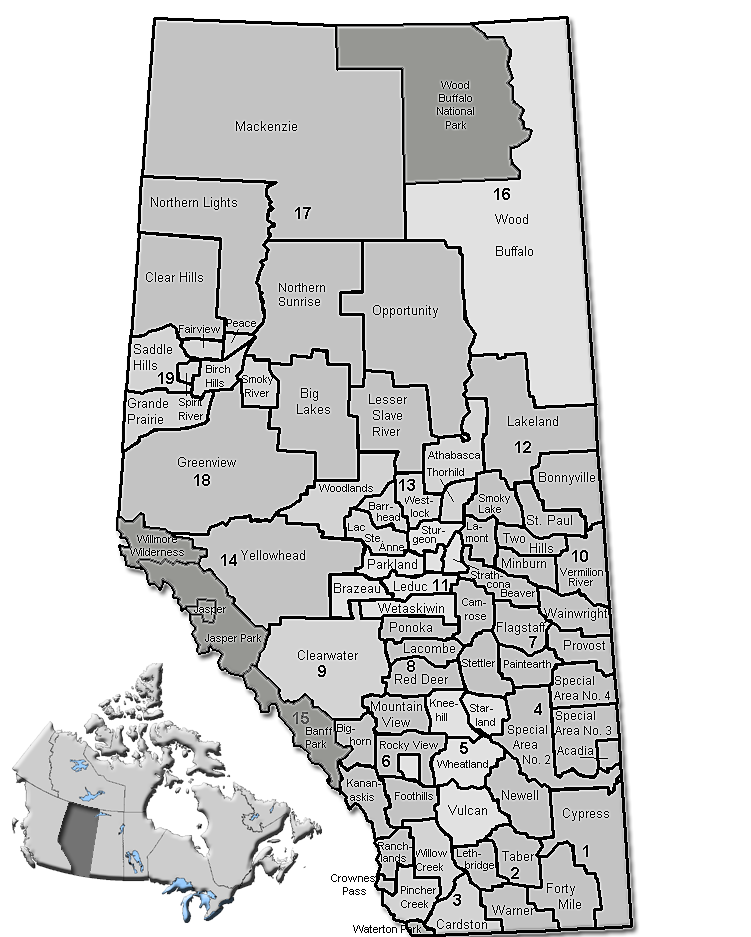
Map of Pincher Creek No. 9, AB, Canada
History
The Municipal District of Pincher Creek No. 9 was originally renamed from the Municipal District of Crowsnest No. 39 to the Municipal District of Pincher Creek No. 39 in 1944. It was renumbered a year later in 1945.
Demographics
In the 2016 Census of Population conducted by Statistics Canada, the Municipal District of Pincher Creek No. 9 recorded a population of 2,965 living in 1,119 of its 1,640 total private dwellings, a 2999390000000000000♠−6.1% change from its 2011 population of 3,158. With a land area of 3,482.05 km2 (1,344.43 sq mi), it had a population density of 0.9/km2 (2.2/sq mi) in 2016.
In the 2011 Census, the Municipal District of Pincher Creek No. 9 had a population of 3,158 living in 1,151 of its 1,550 total dwellings, a -4.6% change from its 2006 population of 3,309. With a land area of 3,480.91 km2 (1,343.99 sq mi), it had a population density of 0.9/km2 (2.3/sq mi) in 2011.
In 2006, Pincher Creek No. 9 had a population of 3,309 living in 1,536 dwellings, a 3.5% increase from 2001. The municipal district has a land area of 3,482.26 km2 (1,344.51 sq mi) and a population density of 1.0/km2 (2.6/sq mi).
In 2001, the municipal district had a population of 3,197 in 1,461 dwellings, a 0.8% increase from 1996. On a surface of 3,484.4 km² it had a density of 0.9 inhabitants/km².