
Population 1,014 (2015 est) Mayor Kevin Burdett Founded 1979 | Established 1979 Region Murray and Mallee Area 4,415 km² | |
 | ||
Website District Council of Karoonda East Murray | ||
The District Council of Karoonda East Murray is a local government area in the Murray Mallee area of South Australia (35°S 140°E). The main council offices are in Karoonda.
Contents
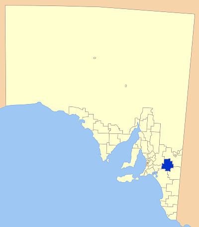
- Map of DC of Karoonda East Murray SA Australia
- History
- Geography
- Councillors
- Mayors and chairmen of Karoonda East Murray
- References
Map of DC of Karoonda East Murray, SA, Australia
The council area covers 4,415 square kilometres and has an estimated population of 1193. The annual average rainfall is 350 mm.
It is entirely in the state electorate of Chaffey and the federal Division of Barker.
History
The council was established in 1979 when the District Council of Karoonda (established 1922) and the District Council of East Murray amalgamated.
The township of Karoonda was established in 1913 when the mallee railway lines were put in place to open the area to grain growing, as previous pastoral runs had failed.
Geography
It includes the towns and localities of Bakara, Borrika, Copeville, Galga, Halidon, Karoonda, Marama, Mindarie, Perponda, Sandalwood, Wanbi and Wynarka, and parts of Bowhill, Mantung and Mercunda.
Councillors
The District Council of Karoonda East Murray has a directly-elected mayor.