
Postcode(s) 5238 Local time Friday 10:00 PM | State electorate(s) HammondChaffey Postal code 5238 | |
 | ||
Weather 23°C, Wind SW at 18 km/h, 50% Humidity | ||
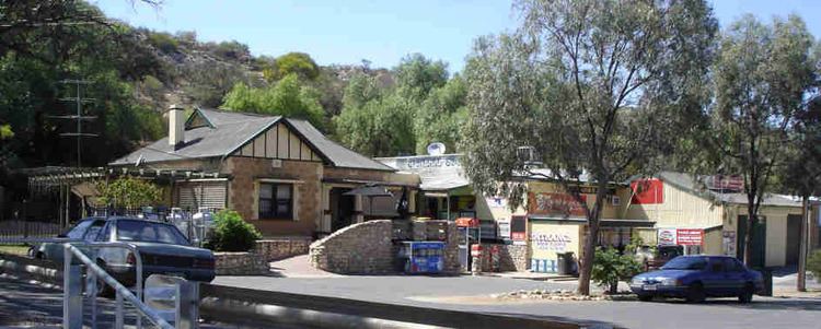
Bowhill is a settlement in South Australia. The town is inside a bend on the left (eastern/southern) bank of the Murray River between Mannum and Swan Reach. It is predominantly shacks built facing the river bank. The town is in the Mid Murray Council area, but most of the wider district away from the river is in the District Council of Karoonda East Murray, including the Lowan Conservation Park. The entire locality is in the federal government Division of Barker. At the state level, the part in Mid Murray council is in the electoral district of Hammond while the part in Karoonda East Murray is in the electoral district of Chaffey.
Map of Bowhill SA 5238, Australia
The nearest crossings of the Murray River are the mannum ferry 30 kilometres (19 mi) downstream and the Purnong ferry 11 kilometres (6.8 mi) by road upstream.
There was a Bowhill East school opened in 1940 but now closed in the eastern part of what is now included in Bowhill. The dominant industries in the district are cereal grain and sheep farming.