
Established 1919 State electorate(s) Chaffey Elevation 86 m Postal code 5308 Federal division Division of Barker | Postcode(s) 5308 Perponda Borrika Founded 1919 Local time Monday 10:38 PM | |
 | ||
LGA(s) District Council of Karoonda East Murray Weather 17°C, Wind SW at 6 km/h, 68% Humidity | ||
Perponda is a settlement in South Australia. At the 2006 census, Perponda had a population of 192.
Contents
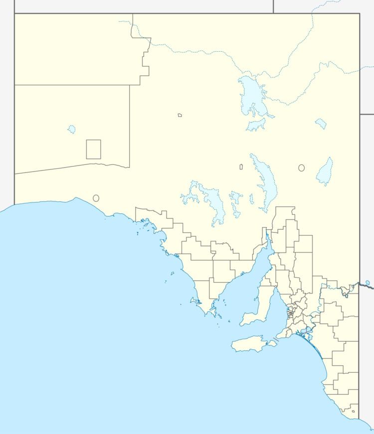
Map of Perponda SA 5308, Australia
History
Perponda was on the Waikerie railway line. The school opened in 1924, but has since closed. The town was surveyed in 1919 and the name is derived from the local Aboriginal word for the plains. The modern locality area includes the former town of Kalyan which was the next siding north along the railway.
References
Perponda, South Australia Wikipedia(Text) CC BY-SA