
Topo map USGS Desatoya Peak Prominence 1,081 m | Elevation 3,041 m | |
 | ||
Similar Granite Peak, Mount Jefferson, Bunker Hill, Star Peak, Troy Peak | ||
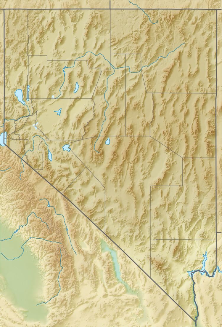
Desatoya Peak is the tallest mountain in both the Desatoya Mountains and Churchill County, in Nevada, United States. It ranks forty-third among the most topographically prominent peaks in the state. The mountain has two peaks with the south peak being the tallest at 9,977 feet (3,041 m) while the north peak has an elevation of 9,970 feet (3,039 m). It is located about 38 miles (61 km) miles west of Austin and 55 miles (89 km) east of Fallon, along the boundary between Churchill County and Lander County. The peak is on public land administered by the Bureau of Land Management and thus has no access restrictions.
Contents
Map of Desatoya Peak, Nevada 89406, USA
ConservationEdit
The 51,402 acres (20,802 ha) surrounding Desatoya Peak are part of the Desatoya Mountains Wilderness Study Area which is administered by the Bureau of Land Management. Wildlife that make their home here are mountain lion, mule deer, gray fox, sage grouse, red-tailed hawk, golden eagle and pika. Additionally, brook trout and Humboldt cutthroat trout live in some of the permanent streams on the flanks of Desatoya Peak.