
Established November 2, 1852 GNIS feature ID 0428890 Area 95.88 km² Population 321 (2010) | Time zone CST (UTC-6) Elevation 214 m Local time Monday 9:59 PM | |
 | ||
ZIP codes 61028, 61041, 61074, 61085 Weather 17°C, Wind S at 42 km/h, 83% Humidity Points of interest Massbach Ridge Winery, Rall Woods State Natural A, Schurmeier Teaching Forest | ||
Derinda Township is one of twenty-three townships in Jo Daviess County, Illinois, USA. As of the 2010 census, its population was 321 and it contained 176 housing units.
Contents
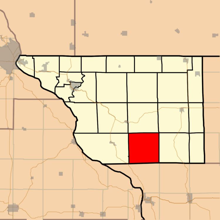
- Map of Derinda Township IL USA
- Geography
- Adjacent townships
- Cemeteries
- School districts
- Political districts
- References
Map of Derinda Township, IL, USA
Derinda Township was named in the 1850s for Derinda Barr, the wife of an early settler.
Geography
According to the 2010 census, the township has a total area of 37.02 square miles (95.9 km2), of which 36.96 square miles (95.7 km2) (or 99.84%) is land and 0.06 square miles (0.16 km2) (or 0.16%) is water.
Adjacent townships
Cemeteries
The township contains these four cemeteries: Albright/Fehler, Massbach/St. John's Evangelical Lutheran, Trinity Lutheran/Derinda Center, and Morrison/Derinda Methodist.
School districts
Political districts
References
Derinda Township, Jo Daviess County, Illinois Wikipedia(Text) CC BY-SA