
Time zone CST (UTC-6) Elevation 294 m Local time Thursday 12:40 AM | Established November 2, 1852 ZIP codes 61028, 61036, 61041 Area 95.54 km² Population 1,111 (2010) | |
 | ||
Weather 0°C, Wind N at 11 km/h, 58% Humidity Points of interest Elizabeth History Museum, 1876 Banwarth House, Long Hollow Scenic O | ||
Elizabeth Township is one of twenty-three townships in Jo Daviess County, Illinois, USA. As of the 2010 census, its population was 1,111 and it contained 579 housing units.
Contents
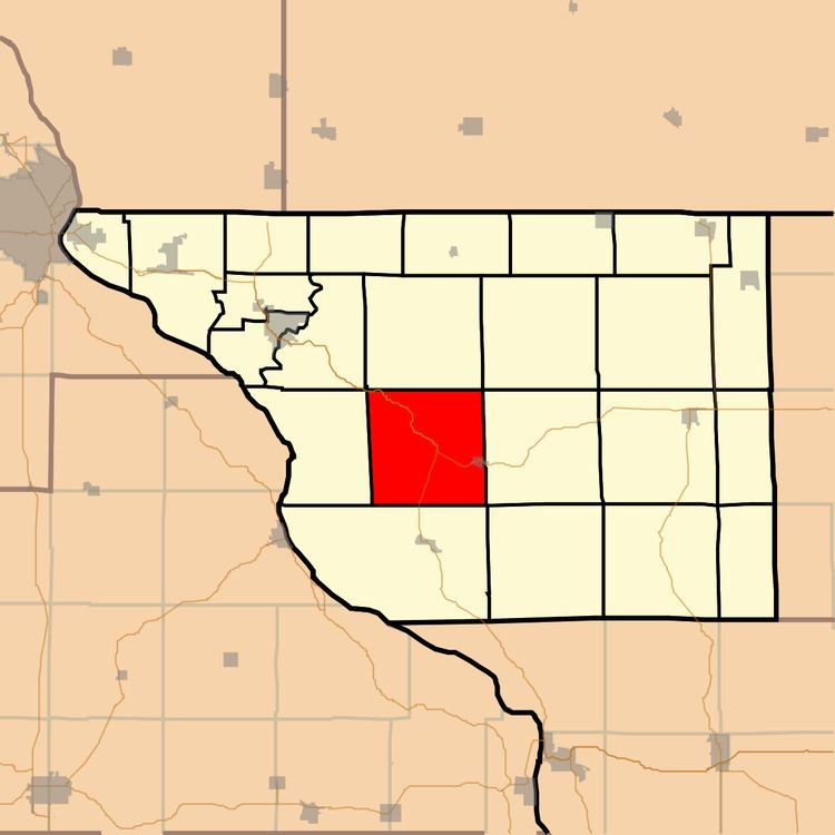
- Map of Elizabeth Township IL USA
- Geography
- Cities towns villages
- Adjacent townships
- Cemeteries
- Major highways
- Landmarks
- School districts
- Political districts
- References
Map of Elizabeth Township, IL, USA
Geography
According to the 2010 census, the township has a total area of 36.89 square miles (95.5 km2), of which 36.88 square miles (95.5 km2) (or 99.97%) is land and 0.01 square miles (0.026 km2) (or 0.03%) is water.
Cities, towns, villages
Adjacent townships
Cemeteries
The township contains these three cemeteries: Log Church, Saint Marys and Weston.
Major highways
Landmarks
School districts
Political districts
References
Elizabeth Township, Jo Daviess County, Illinois Wikipedia(Text) CC BY-SA