
Country United States Time zone CST (UTC-6) GNIS feature ID 0429897 Area 102.9 km² Population 356 (2010) | ZIP codes 61028, 61074 Elevation 200 m Local time Saturday 10:26 PM | |
 | ||
Weather 16°C, Wind S at 18 km/h, 62% Humidity Points of interest Mississippi Palisades State Park, Mississippi Palisades ‑ National, Palisades Golf Course | ||
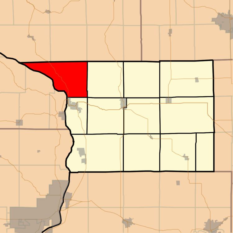
Washington Township is one of twelve townships in Carroll County, Illinois, USA. As of the 2010 census, its population was 356 and it contained 198 housing units.
Contents
- Map of Washington Township IL 61074 USA
- Geography
- Cities towns villages
- Unincorporated towns
- Cemeteries
- Major highways
- Rivers
- Lakes
- Landmarks
- School districts
- Political districts
- References
Map of Washington Township, IL 61074, USA
Geography
According to the 2010 census, the township has a total area of 39.74 square miles (102.9 km2), of which 35.39 square miles (91.7 km2) (or 89.05%) is land and 4.35 square miles (11.3 km2) (or 10.95%) is water.
Cities, towns, villages
Unincorporated towns
(This list is based on USGS data and may include former settlements.)
Cemeteries
The township contains Mosquito Hill Cemetery which is also known as St. Peter's Evangelical Lutheran Cemetery. The cemetery is the site of the former St. Matthew's Evangelical Lutheran Church.
Major highways
Rivers
Lakes
Landmarks
School districts
Political districts
References
Washington Township, Carroll County, Illinois Wikipedia(Text) CC BY-SA