
Time zone CST (UTC-6) Elevation 267 m Zip code 61085 Population 2,453 (2010) | Established November 2, 1852 GNIS feature ID 0429801 Area 95.86 km² Local time Tuesday 4:41 AM | |
 | ||
Weather 7°C, Wind NE at 8 km/h, 98% Humidity | ||
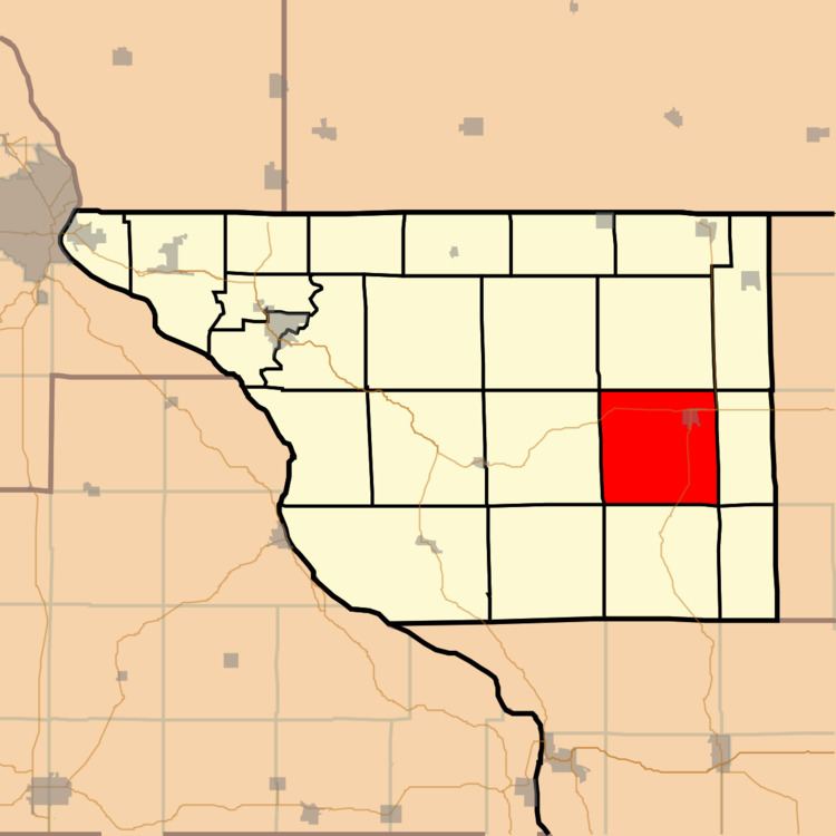
Stockton Township is one of twenty-three townships in Jo Daviess County, Illinois, USA. As of the 2010 census, its population was 2,453 and it contained 1,141 housing units.
Contents
- Map of Stockton Township IL 61085 USA
- Geography
- Cities towns villages
- Adjacent townships
- Cemeteries
- Major highways
- Airports and landing strips
- School districts
- Political districts
- References
Map of Stockton Township, IL 61085, USA
Geography
According to the 2010 census, the township has a total area of 37.01 square miles (95.9 km2), all land.
Cities, towns, villages
Adjacent townships
Cemeteries
The township contains
Holy Cross Catholic Cemetery.
Ladies Union Cemetery
Major highways
Airports and landing strips
School districts
Political districts
References
Stockton Township, Jo Daviess County, Illinois Wikipedia(Text) CC BY-SA