
Country United States ZIP codes 61028, 61053, 61074 Elevation 192 m Local time Wednesday 8:35 AM | Time zone CST (UTC-6) GNIS feature ID 0429951 Area 94.82 km² Population 280 (2010) | |
 | ||
Weather 6°C, Wind E at 24 km/h, 85% Humidity | ||
Woodland Township is one of twelve townships in Carroll County, Illinois, USA. As of the 2010 census, its population was 280 and it contained 167 housing units.
Contents
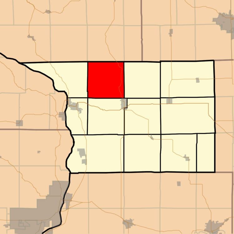
- Map of Woodland Township IL USA
- Geography
- Unincorporated towns
- Cemeteries
- Major highways
- School districts
- Political districts
- References
Map of Woodland Township, IL, USA
Geography
According to the 2010 census, the township has a total area of 36.61 square miles (94.8 km2), all land.
Unincorporated towns
(This list is based on USGS data and may include former settlements.)
Cemeteries
The township contains these two cemeteries: Woodland Brethren and Zion.
Major highways
School districts
Political districts
References
Woodland Township, Carroll County, Illinois Wikipedia(Text) CC BY-SA