
- location below Coronation Peak | - elevation 227 m (745 ft) - elevation 0 m (0 ft) | |
 | ||
- right Hardwood River, De Witt River Similar Port Davey Track, Scotts Peak Dam, Scotts Peak, Edgar Dam, Cockle Creek | ||
The Davey River is a perennial river located in the south-west region of Tasmania, Australia.
Contents
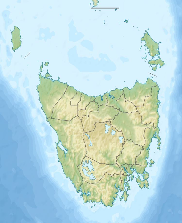
Map of Davey River, Tasmania, Australia
Course and features
The Davey River rises on the western slopes of the Frankland Range, below Coronation Peak, and flows generally south by west through the Southwest National Park, joined by ten tributaries including the Lora, Frankland, Hardwood, Crossing, and De Witt rivers. The river reaches its mouth in Payne Bay, an inner part of Port Davey, and empties out into the Southern Ocean. The river descends 228 metres (748 ft) over its 53-kilometre (33 mi) course.
A section of the lower Davey River gorge is known as Hells Gates, - providing confusion with the entry to Macquarie Harbour which has an entrance by the same name - Hells Gates.
References
Davey River Wikipedia(Text) CC BY-SA