
Elevation 1,083 m Country Australia | ||
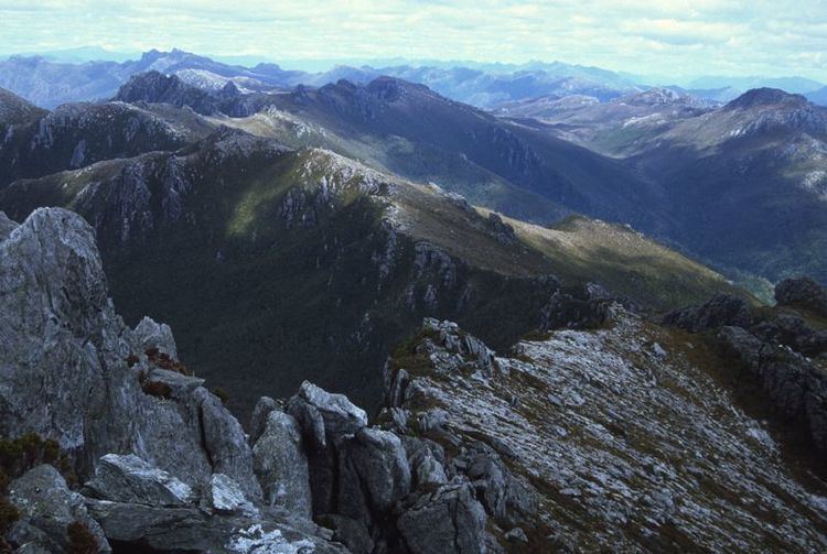 | ||
Frankland range 2006
The Frankland Range is a mountain range that is located in the south-west region of Tasmania, Australia. The range forms part of a natural south-western border to the impounded Lake Pedder, formed by the damming of the Serpentine and Huon rivers.
Contents
Map of Frankland Range, Southwest TAS 7139, Australia
As part of the South West Wilderness area, it is a less popular site of bushwalking than other, more famous, ranges in Tasmania's South West, and is for much more advanced walkers due to its length, isolation and terrain. Access routes to the range are by boat from the lake, or the roads at Strathgordon or Scotts Peak Dam.
Nearby ranges include the Arthur, Companion, Folded, Tribulation, and the Wilmot ranges.
References
Frankland Range Wikipedia(Text) CC BY-SA