
Country Australia Purpose Power Opening date 1973 (1973) Height 17 m Length 460 m | Status Operational Opened 1973 Catchment area 734 km² Owner Hydro Tasmania | |
 | ||
Similar | ||
The Edgar Dam is an earthfill embankment saddle dam without a spillway, located offstream in the South West region of Tasmania, Australia.
Contents
Map of Edgar Dam, Southwest TAS 7139, Australia
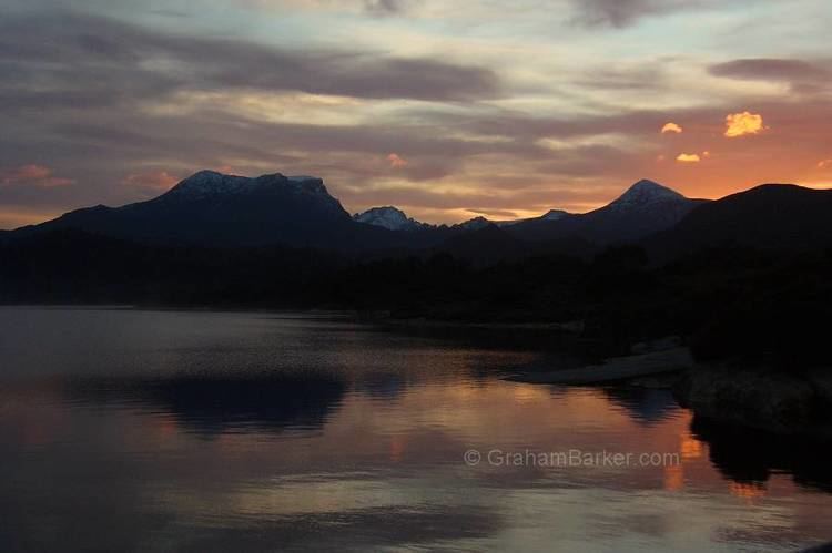
The impounded reservoir, also formed with the Scotts Peak Dam and the Serpentine Dam, is called Lake Pedder which flooded Lake Edgar, a naturally forming fault scarp pond. The dam was constructed in 1973 by the Hydro Electric Corporation (TAS) as part of the Gordon River Power Development Scheme for the purpose of generating hydro-electric power via the Gordon Power Station. Water from Lake Pedder is diverted to Lake Gordon (formed by the Gordon Dam) via the McPartlan Pass Canal.
Location and features
The Edgar Dam, together with the Scotts Peak Dam and the Serpentine Dam, are three major dams that form the headwaters for the Gordon River Power Development Scheme. The dam is located near Lake Pedder's most easterly point in the upper reaches of the Huon River where the river descends from the Marsden Range and descends into what is now known as the Huon Basin. Also at the southern end of the Lake Pedder, the Scotts Peak Dam impounds the Huon River. At the northwestern end of the lake is impounded by the Serpentine Dam across the Serpentine River. The water in Lake Pedder provides around 40% of the water used in the Gordon Power Station. The water flows to Lake Gordon via McPartlan Canal. Water from Lake Gordon then exits through the Gordon Dam.
The Edgar Dam wall, constructed with 96 thousand cubic metres (3.4×10^6 cu ft) of earth core, is 17 metres (56 ft) high and 460 metres (1,510 ft) long. At 100% capacity the dam wall holds back 2,937,930 megalitres (103,752×10^6 cu ft) of water. The surface area of Lake Pedder is 241,330 hectares (596,300 acres) and the catchment area is 734 square kilometres (283 sq mi). The dam wall does not have a spillway.
The dam draws its name from the flooded Lake Edgar.
Lake Edgar Fault
The Lake Edgar Fault is a 30-kilometre (19 mi) long north-south trending scarp that occurs within the boundary of the Southwest National Park. The scarp traverses the button grass of the Huon Plains and is notable because faulting resulted in the defeat of westerly flowing drainage and the consequent formation of the fault-bound sag pond of Lake Edgar. In spite of a tremor measuring 3.2 on the Richter magnitude scale in January 2001 near the Lake Edgar fault, which runs adjacent to the Edgar Dam, the ability of the dam to cope with stresses associated with seismic activity. Hydro Tasmania is confident that the eventuality of the Edgar Dam being destroyed by an earthquake is an extremely remote possibility.