
Population 144 (2006 census) Elevation 203 m Local time Saturday 3:21 AM | Postcode(s) 3862 Postal code 3862 | |
 | ||
Weather 17°C, Wind SE at 6 km/h, 89% Humidity | ||
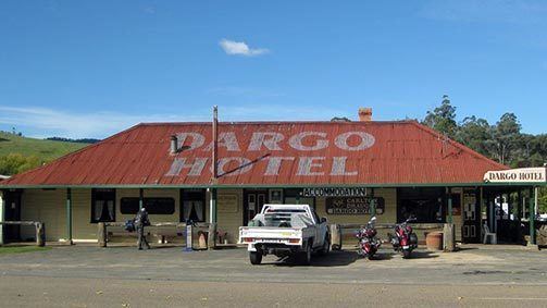
Dargo is a town in Victoria, Australia, located 348 kilometres (216 mi) east of Melbourne, in the Shire of Wellington. At the 2006 census, Dargo and the surrounding area had a population of 144.
Map of Dargo VIC 3862, Australia
The town provided a stopover for Victorian Gold Rush miners on their way to the goldfields of Grant, Talbotville, and Crooked River. The Post Office opened on 18 March 1868.
Today the town is a producer of timber, and stockmen seasonally reside on the nearby Dargo High Plains. The town is a popular destination for four-wheel drive enthusiasts, bushwalkers, sambar deer hunters, and trout fisherman. An annual Walnut Festival formerly ran through the Australian Easter holiday period and was usually well attended.
References
Dargo, Victoria Wikipedia(Text) CC BY-SA