
Car plates RMI | Seat Mielec Area 880.2 km² | |
 | ||
Gminas Total 10 (incl. 1 urban)MielecGmina BorowaGmina CzerminGmina GawłuszowiceGmina MielecGmina Padew NarodowaGmina PrzecławGmina Radomyśl WielkiGmina Tuszów NarodowyGmina Wadowice Górne Points of interest "Jadernówka" Oddział Fotografic, Park Historyczny w Bliźnie, Rezerwat przyrody Buczyna, Rezerwat przyrody Bagno Pr | ||
Mielec County (Polish: powiat mielecki) is a unit of territorial administration and local government (powiat) in Subcarpathian Voivodeship, south-eastern Poland. It came into being on January 1, 1999, as a result of the Polish local government reforms passed in 1998. Its administrative seat and largest town is Mielec, which lies 50 kilometres (31 mi) north-west of the regional capital Rzeszów. The only other towns in the county are Radomyśl Wielki, lying 16 km (10 mi) south-west of Mielec, and Przecław, 11 km (7 mi) south of Mielec.
Contents
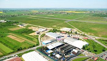
Map of Mielec County, Poland
The county covers an area of 880.21 square kilometres (339.9 sq mi). As of 2006 its total population was 133,148, out of which the population of Mielec was 61,118, that of Radomyśl Wielki 2,912, and the rural population 69,118 (including approximately 1,400 for the population of Przecław, which became a town in 2010).
Neighbouring counties
Mielec County is bordered by Staszów County and Tarnobrzeg County to the north, Kolbuszowa County to the east, Ropczyce-Sędziszów County and Dębica County to the south, and Dąbrowa County to the west.
Administrative division
The county is subdivided into 10 gminas (one urban, two urban-rural and seven rural). These are listed in the following table, in descending order of population.