
Demonym(s) Culemborger Postcode 4100–4107 Area 31.18 km² Local time Monday 11:46 AM | Elevation 5 m (16 ft) Website www.culemborg.nl Area code 0345 | |
 | ||
Weather 7°C, Wind N at 2 km/h, 85% Humidity Points of interest Elisabeth Weeshuis, De Groene Schuur, De Nederlandse Stichting | ||
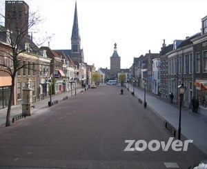
Culemborg ( [ˈkyləmbɔrx]; formerly also spelled Kuilenburg or Kuylenburgh) is a municipality and a city in the centre of the Netherlands. The city is situated just south of the Lek River. The cities of Utrecht and 's-Hertogenbosch can be reached easily by train.
Contents
Map of Culemborg, Netherlands
History
It received city rights in 1318.
In Joan Blaeu's map of 1649, Culemborg remains entirely enclosed by walls behind its city moat-like encircling canals. The moated castle stands outside the city walls. Houses present a united front along streets and the two canals that cut the city in three sections, but they all face gardens behind, and market gardens are plentiful within the city walls.
In 1995, Culemborg was one of the cities which was temporarily evacuated because of the risk of flooding.
Transportation
Culemborg is served by Culemborg railway station, which offers trains to Utrecht (city) 4x per hour and 2x per hour to Breda and Tiel each. The railway station also provides a bus hub, offering buses to the various neighbouring cities and villages (namely Buren, Beusichem and Nieuwegein).
Dutch topographic map of the municipality of Culemborg, June 2015
Industry
Dough processing company Rademaker BV, founded in 1977, moved to Culemborg in 1981 and still has their headquarters here.
Windmills
There are two traditional windmills in Culemborg, De Hoop and Johanna. The base of a third mill, De Koornvriend, also survives.