
Isolation 35.4 mi (56.9 km) Prominence 1,465 m | Elevation 4,282 m Easiest route Hiking | |
 | ||
Listing North America highest peaks 57thUS highest major peaks 43rdColorado highest major peaks 23rdColorado fourteeners 41st Topo map USGS 7.5' topographic mapCulebra Peak, Colorado Similar Crestone Peak, San Luis Peak, Ellingwood Point, Humboldt Peak, Blanca Peak | ||
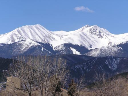
Culebra Peak is the highest summit of the Culebra Range of the Sangre de Cristo Mountains in the Rocky Mountains of North America. The prominent 14,053-foot (4,283 m) fourteener is located on private land, 14.2 miles (22.8 km) east-southeast (bearing 113°) of the Town of San Luis in Costilla County, Colorado, United States. Culebra Peak is the southernmost fourteener in the Rocky Mountains.
Contents
Map of Culebra Peak, Colorado 81091, USA
MountainEdit
Culebra Peak is one of the only fourteeners on private land. Access is limited, and a fee (currently $150 per person) is charged to climb the peak. Ownership of and access to the land, both for recreational and other activities, have been controversial issues for many years, involving multiple lawsuits and even occasional violence.
While Culebra is one of the lower fourteeners, it is actually the fourth most topographically prominent peak in the state, due to its separation from the other fourteeners by the relatively low La Veta Pass.