
Founded November 1, 1861 Population 3,518 (2013) Unemployment rate 7.6% (Apr 2015) | Area 3,186 km² Largest city San Luis | |
 | ||
Website www.costillacounty-co.gov Points of interest Fort Garland, Blanca Peak, Mount Lindsey, Culebra Peak, White Mountain Trading P | ||
Costilla County is the ninth-least populous of the 64 counties in the U.S. state of Colorado. As of the 2010 census, the population was 3,524. The county seat is San Luis, the oldest town in Colorado.
Contents
- Map of Costilla County CO USA
- History
- Geography
- Adjacent counties
- National protected area
- Historic trails and sites
- Demographics
- Politics
- Communities
- References
Map of Costilla County, CO, USA
History
Costilla County was the first area of Colorado to be settled by European-Americans. Hispanic settlers from Taos, New Mexico, officially established San Luis on April 9, 1851. Costilla County was one of the original 17 counties created by the Territory of Colorado on November 1, 1861. The county was named for the Costilla River. Although San Miguel was originally designated the county seat, the county government was moved to San Luis in 1863.
The county's original boundaries extended over much of south-central Colorado. Much of the northern portion became part of Saguache County in 1866, and the western portions were folded into Hinsdale and Rio Grande counties in 1874. Costilla County arrived at its modern boundaries in 1913 when Alamosa County was created from its northwest portions.
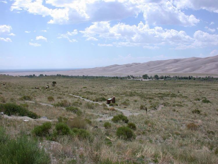
Geography
According to the U.S. Census Bureau, the county has a total area of 1,230 square miles (3,200 km2), of which 1,227 square miles (3,180 km2) is land and 304 square miles (790 km2) (0.3%) is water.
Adjacent counties
National protected area
Historic trails and sites
Demographics
As of the census of 2000, there were 3,663 people, 1,503 households, and 1,029 families residing in the county. The population density was 3 people per square mile (1/km²). There were 2,202 housing units at an average density of 2 per square mile (1/km²). The racial makeup of the county was 60.91% White, 0.79% Black or African American, 2.48% Native American, 1.01% Asian, 0.14% Pacific Islander, 29.46% from other races, and 5.21% from two or more races. 67.59% of the population were Hispanic or Latino of any race.
There were 1,503 households out of which 28.50% had children under the age of 18 living with them, 52.60% were married couples living together, 11.30% had a female householder with no husband present, and 31.50% were non-families. 28.10% of all households were made up of individuals and 11.60% had someone living alone who was 65 years of age or older. The average household size was 2.44 and the average family size was 2.98.
In the county, the population was spread out with 25.00% under the age of 18, 6.60% from 18 to 24, 23.30% from 25 to 44, 28.30% from 45 to 64, and 16.80% who were 65 years of age or older. The median age was 42 years. For every 100 females there were 99.80 males. For every 100 females age 18 and over, there were 96.20 males.
The median income for a household in the county was $19,531, and the median income for a family was $25,509, the lowest for Colorado. Males had a median income of $22,390 versus $16,121 for females. The per capita income for the county was $10,748. About 21.30% of families and 26.80% of the population were below the poverty line, including 32.40% of those under age 18 and 23.30% of those age 65 or over.
Politics
Costilla County tends to favor the Democratic candidate in Presidential elections. The last Republican to carry the county was Calvin Coolidge in 1924. In the last five Presidential elections the Democratic candidate has consistently received over 60% of the county's vote and occasionally won over 70% of it.
In the Colorado's first elections as a state in 1876, Auguste Lacome (D) ran against William H. Meyer (R) for State Senate in Costilla County, then Colorado's 18th District. Meyer would later become the Lt. Governor of Colorado. Votes cast for "Locome" and "Lacompte" were included in the count for Lacome. Meyer carried the election 349-204.
It is part of Colorado's 3rd congressional district, which has a Cook Partisan Voting Index of R+5 and is represented by Republican Scott Tipton. In the Colorado Senate it is in District 5 and is represented by Gail Schwartz. In the Colorado House of Representatives it is in District 62 and is represented by Democrat Edward Vigil.
Communities
Garcia, Colorado