
Country United States FIPS code 21-18766 Elevation 181 m Population 229 (2013) | Time zone Eastern (EST) (UTC-5) GNIS feature ID 0490398 Area 26 ha Local time Saturday 6:44 PM | |
 | ||
Weather 12°C, Wind E at 10 km/h, 28% Humidity | ||
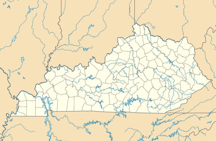
Crossgate is a 6th-class city in Jefferson County, Kentucky, United States. The population was 251 at the 2000 census.
Contents
Map of Crossgate, KY 40222, USA
Geography
Crossgate is located at 38°16′45″N 85°37′47″W (38.279131, -85.629609).
According to the United States Census Bureau, the city has a total area of 0.1 square miles (0.26 km2), all land.
Demographics
As of the census of 2000, there were 251 people, 98 households, and 77 families residing in the city. The population density was 4,162.5 people per square mile (1,615.2/km²). There were 99 housing units at an average density of 1,641.8 per square mile (637.1/km²). The racial makeup of the city was 96.02% White, 0.80% Black or African American, 0.40% Native American and 2.79% Asian.
There were 98 households out of which 34.7% had children under the age of 18 living with them, 72.4% were married couples living together, 5.1% had a female householder with no husband present, and 21.4% were non-families. 19.4% of all households were made up of individuals and 12.2% had someone living alone who was 65 years of age or older. The average household size was 2.56 and the average family size was 2.94.
In the city, the population was spread out with 24.3% under the age of 18, 4.8% from 18 to 24, 23.5% from 25 to 44, 31.5% from 45 to 64, and 15.9% who were 65 years of age or older. The median age was 44 years. For every 100 females there were 94.6 males. For every 100 females age 18 and over, there were 88.1 males.
The median income for a household in the city was $66,000, and the median income for a family was $74,500. Males had a median income of $57,917 versus $41,250 for females. The per capita income for the city was $31,450. None of the families and 2.4% of the population were living below the poverty line.