
- left Wheeo Creek - elevation 619 m (2,031 ft) | - elevation 430 m (1,411 ft) | |
 | ||
- location north–west of Binda and east of Frogmore | ||
The Crookwell River is a perennial river that is part of the Lachlan catchment within the Murray–Darling basin, located in the Southern Tablelands and South West Slopes regions of New South Wales, Australia.
Contents
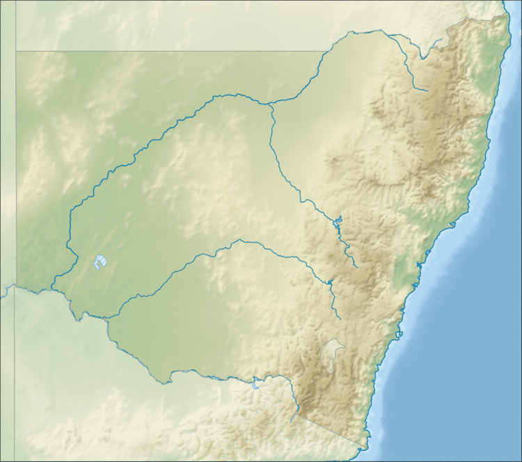
Map of Crookwell River, New South Wales, Australia
Sourced by runoff from the western slopes of the Great Dividing Range, the river rises south of Crookwell and flows generally northwest by west, joined by one minor tributary, before reaching its confluence with the Lachlan River northwest of Binda and east of Frogmore. The river descends 461 metres (1,512 ft) over its 78-kilometre (48 mi) course.
Etymology
The river was originally named "Crook-ell" by William Stephenson, who originated from Crookhall, Durham, England.
References
Crookwell River Wikipedia(Text) CC BY-SA