- location west of Woodrow - elevation 2,400 ft (731.5 m) Nearest city Marlinton | - elevation 4,556 ft (1,388.7 m) Area 193.5 km² Established January 1, 1983 | |
 | ||
Owner United States Forest Service Management United States Forest Service | ||
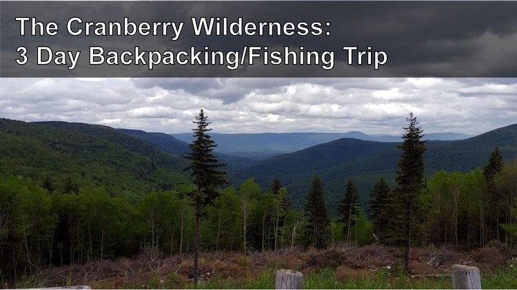
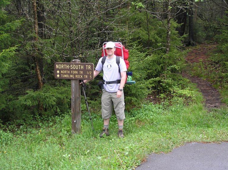
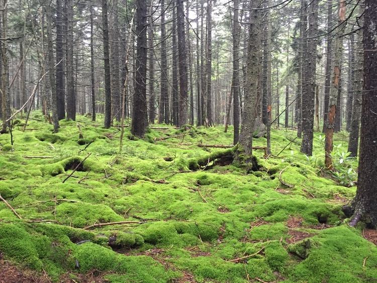
Ultralight backpacking in the cranberry wilderness
The Cranberry Wilderness is a 47,815-acre (19,350 ha) U.S. wilderness area in the Monongahela National Forest of southeast West Virginia, United States. Its name derives from the nearby Cranberry Glades as well as from the Cranberry River and Cranberry Mountain. In addition to being wilderness, it is a designated black bear sanctuary.
Contents
- Ultralight backpacking in the cranberry wilderness
- Cranberry wilderness
- GeographyEdit
- Counterculture eventsEdit
- 2009 additionEdit
- Hiking trailsEdit
- References
Cranberry wilderness
GeographyEdit
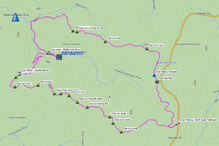
The Cranberry Wilderness is located mostly in Pocahontas County, with a small portion in Webster County. The wilderness is drained by the Williams River and the Cranberry River, both of which are tributaries of the Gauley River, which in turn unites with the New River to form the Kanawha, a tributary of the Ohio. The area just to the east of the Cranberry Wilderness is drained by tributaries of the Greenbrier River which flows into the New.
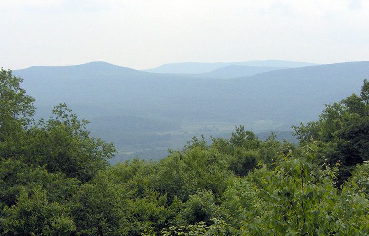
The wilderness is located in the Yew Mountains, which are part of the Allegheny Mountains. The highest point in the wilderness is along Black Mountain at 4,556 feet (1,389 m), although there is a slightly higher point at 4,603 feet (1,403 m) just outside the wilderness. The lowest elevation in the wilderness is at 2,400 feet (730 m) along the Williams River at Three Forks of Williams River, where it exits the wilderness.
Counterculture eventsEdit
The national Rainbow Gathering has been held twice at the Cranberry Wilderness — in 1980 and in 2005.
2009 additionEdit
The Omnibus Public Land Management Act of 2009 added 11,951 acres (4,836 ha) of adjacent land to the Cranberry Wilderness. This area, which was previously known as the Cranberry Backcountry, is located between the Williams River and the Cranberry River. It protects several tributaries of both the Williams and Cranberry Rivers which are popular trout streams. The area already has an excellent trail system connected to the original wilderness.
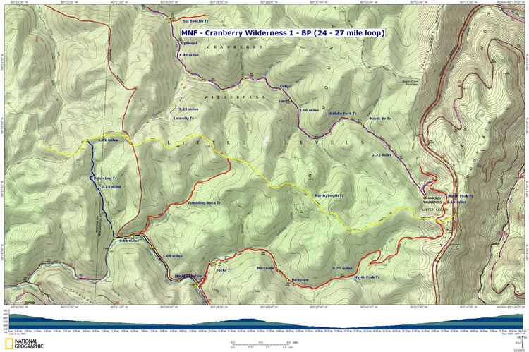
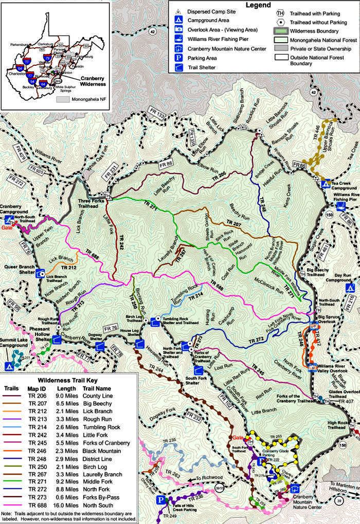
Hiking trailsEdit