
- elevation 3,890 ft (1,186 m) Discharge 8.976 m³/s Basin area 191.7 km² | - elevation 4,364 ft (1,330 m) - elevation 3,176 ft (968 m) Length 39 km Basin area 191.7 km² | |
 | ||
- location Black Mountain, Pocahontas County, WV Source Pocahontas County, West Virginia | ||
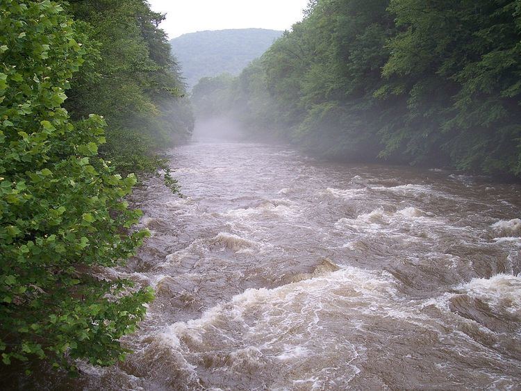
The Cranberry River is a tributary of the Gauley River located in southeastern West Virginia in the United States. It is a part of the Mississippi River watershed, by way of the Gauley, Kanawha, and Ohio Rivers, draining an area of 74 square miles (192 km2).
Contents
Map of Cranberry River, West Virginia, USA
The river has also been known historically as Cranberry Creek. The river was named for cranberry bogs along its course.
GeographyEdit
The Cranberry River is formed in southwestern Pocahontas County by the confluence of its North and South forks. The South Fork, the longer of the two at a length of 9 miles (14 km), rises on Cranberry Mountain just west of the Highland Scenic Highway before flowing through the Cranberry Glades Botanical Area. The North Fork rises about 2 miles (3.2 km) north on Black Mountain.
Below the confluence of its forks, the Cranberry flows for 24 miles (39 km) generally westward towards its mouth at the Gauley River near Craigsville.
Since the river flows mostly through United States Forest Service land, no more than a handful of people live along its banks; the few that do reside near the mouth of the river. However, the Cranberry River has several pay campgrounds, free campsites, and picnic areas along its banks.
FishingEdit
The Cranberry River and its small tributaries are regarded as some of the finest trout streams in the eastern United States. Until recently, however, trout fishing on the south fork was limited to the lower half of the river due to acid rain. The West Virginia Division of Natural Resources has worked to counter this problem by installing a liming station on the north fork of the river.