
Time zone MST (UTC-7) Elevation 2,432 m Zip code 81152 Local time Monday 6:52 PM | State State of Colorado Established 1851-04-09 FIPS code 08-68105 Area 140 ha Population 620 (2013) Area code 719 | |
 | ||
Weather 14°C, Wind SW at 23 km/h, 21% Humidity | ||
The Town of San Luis is a statutory town that is the county seat and the most populous town of Costilla County, Colorado, United States. Formerly known as San Luis de la Culebra, San Luis is the oldest continuously occupied town in Colorado. The population was 629 at the 2010 census.
Contents
Map of San Luis, CO 81152, USA
History
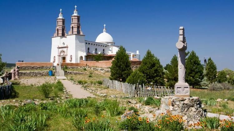
Hispanic settlers from the Taos Valley established several small villages along the Rio Culebra in the San Luis Valley and officially took possession of this portion of the Sangre de Cristo Land Grant on April 9, 1851. Settlers built a church in the central village of La Plaza Medio and dedicated it on the Feast of Saint Louis, June 21, 1851. The village was renamed San Luis de la Culebra in honor of its patron saint. San Luis remained part of the Territory of New Mexico until 1861 when the Territory of Colorado was established. Today, San Luis is the oldest continuously inhabited town in the state of Colorado.
A Pueblo Chieftain article dated June 8, 1872 describes the three stores of San Luis as kept by Fred Meyer & Co, Auguste Lacome, and Mazers & Rich in addition to a blacksmith, butcher, beer saloon, carpenter, and two hotels.
Geography
The town of San Luis lies within the San Luis Valley at 37°12′7″N 105°25′20″W (37.201988, -105.422360), south of the geographic center of Costilla County. Colorado State Highway 159 leads north 15 miles (24 km) to Fort Garland and U.S. Route 160, and south 18 miles (29 km) to the New Mexico border. Highway 142 leads west 31 miles (50 km) to Manassa.
According to the United States Census Bureau, the town has a total area of 0.54 square miles (1.4 km2), all of it land.
Demographics
As of the census of 2000, there were 739 people, 322 households, and 200 families residing in the town. The population density was 1,555.2 people per square mile (594.4/km²). There were 376 housing units at an average density of 791.3 per square mile (302.4/km²). The racial makeup of the town was 60.49% White, 0.27% African American, 2.44% Native American, 0.14% Pacific Islander, 29.50% from other races, and 7.17% from two or more races. Hispanic or Latino of any race were 88.77% of the population.
There were 322 households out of which 28.3% had children under the age of 18 living with them, 40.7% were married couples living together, 16.8% had a female householder with no husband present, and 37.6% were non-families. 33.2% of all households were made up of individuals and 14.0% had someone living alone who was 65 years of age or older. The average household size was 2.30 and the average family size was 2.94.
In the town, the population was spread out with 23.4% under the age of 18, 7.3% from 18 to 24, 21.7% from 25 to 44, 27.9% from 45 to 64, and 19.8% who were 65 years of age or older. The median age was 43 years. For every 100 females there were 94.5 males. For every 100 females age 18 and over, there were 89.9 males.
The median income for a household in the town was $14,213, and the median income for a family was $20,875. Males had a median income of $20,156 versus $13,333 for females. The per capita income for the town was $8,887. About 29.9% of families and 34.3% of the population were below the poverty line, including 41.1% of those under age 18 and 21.2% of those age 65 or over.