
Country United States Time zone MST (UTC-7) Elevation 2,493 m Local time Wednesday 3:02 PM | Established 1860 Area code(s) (719) Zip code 81126 | |
 | ||
Weather 13°C, Wind SE at 21 km/h, 25% Humidity | ||
Chama is an unincorporated community and U.S. Post Office in Costilla County, Colorado, United States. The ZIP Code of the Chama Post Office is 81126.
Contents
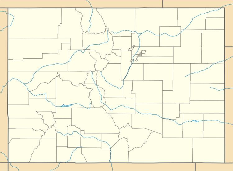
Map of Chama, CO 81152, USA
History
The town of Chama was established by settlers from Chamita, New Mexico, in 1860. The Chama Post Office opened on May 3, 1907. The Chama school was taken down between the years of 1999 and 2001.
Description
Most of Chama's houses are made of adobe. Many of them are very old. There is also a lot of rocks and "chamiso" sage brush in Chama. It is at the foothills of Culebra Ranch.
Geography
Chama is located at 37°09′46″N 105°22′30″W (37.162916,-105.375023).
References
Chama, Colorado Wikipedia(Text) CC BY-SA