
Elevation 2,355 m Local time Friday 5:25 AM | Time zone MST (UTC-7) Zip code 81152 | |
 | ||
Weather -1°C, Wind E at 11 km/h, 34% Humidity | ||
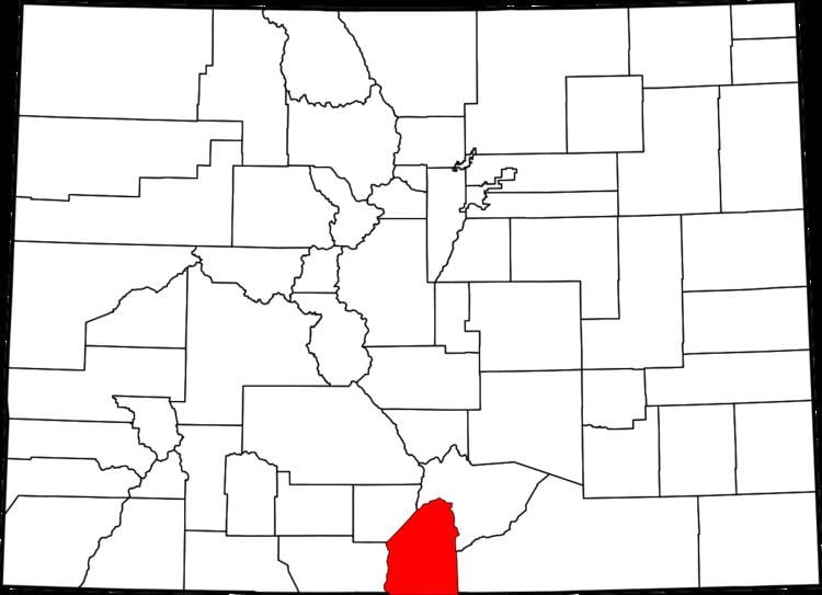
Garcia is an unincorporated community and a U.S. Post Office located in Costilla County, Colorado, United States, just north of the New Mexico border. The Garcia Post Office has the ZIP Code 81134.
Contents
Map of Garcia, CO 81152, USA
History
A post office called Garcia was established in 1915. The community was named for the local Garcia family.
Geography
Garcia is located at 37°00′12″N 105°32′12″W (37.003375,-105.536728).
References
Garcia, Colorado Wikipedia(Text) CC BY-SA