
Area 144,252 km² | Elevation 5,410 m (17,750 ft) Parent range Andes | |
 | ||
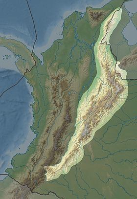
Listing Altiplano Cundiboyacense, Serranía de los Yariguíes, Serranía de las Quinchas, Sierra Nevada del Cocuy, Serranía del Perijá Length 1,200 km (750 mi) SW-NE Mountains Monserrate, Ritacuba Blanco, Guadalupe Hill | ||
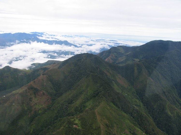
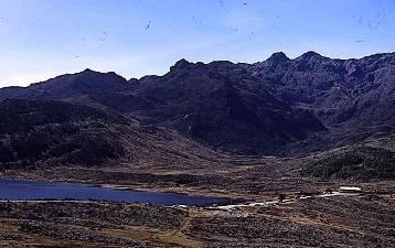
The Cordillera Oriental (English: Eastern Ranges) is the widest of the three branches of the Colombian Andes. The range extends from south to north dividing from the Colombian Massif in Huila Department to Norte de Santander Department where it splits into the Serranía del Perijá and the Cordillera de Mérida in Venezuelan Andes. The highest peak is Ritacuba Blanco at 5,410 m (17,750 ft) in the Sierra Nevada del Cocuy.
Contents
Geography
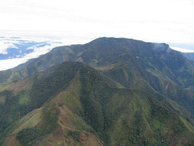
The western part of the Cordillera Oriental belongs to the Magdalena River basin, while the eastern part includes the river basins of the Amazon River, Orinoco River, and Catatumbo River. Within it, the Altiplano Cundiboyacense and the Sierra Nevada del Cocuy (with the only snowy peaks in this mountain range) stand out.
Protected areas
References
Cordillera Oriental (Colombia) Wikipedia(Text) CC BY-SA