
Established 1905 Area rank 26th Area 19,890 km² Municipalities 37 | Region Andes Region Time zone UTC-05 Population 1.126 million (2013) Team Atlético Huila | |
 | ||
University South Colombian University Points of interest Puracé National Natural P, Estrecho del Magdalena, La Chaquira, Monumento La Gaitana, Puracé Destinations | ||
Betania dam on the way from san agustin to neiva huila department
Huila ([ˈwila]) is one of the departments of Colombia. It is located in the southwest of the country, and its capital is Neiva.
Contents
- Betania dam on the way from san agustin to neiva huila department
- Map of Huila Colombia
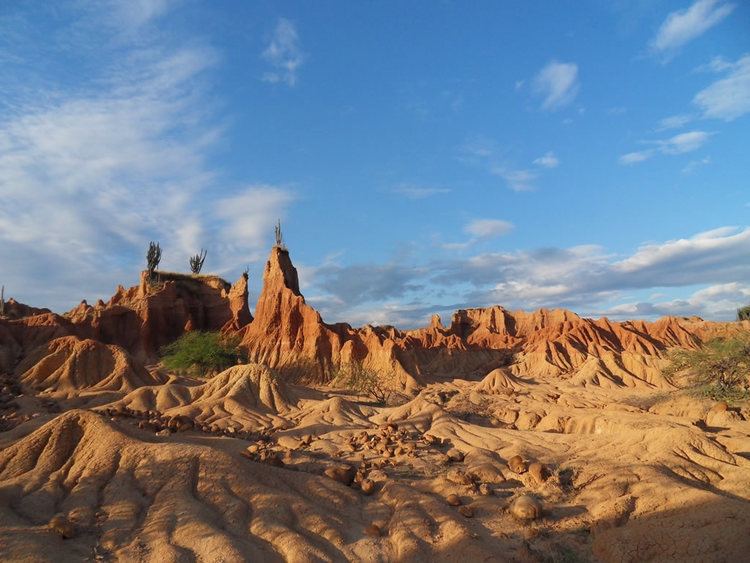
- Tatacoa desert desierto de la tatacoa huila department
- Geography
- Municipalities
- References
Map of Huila, Colombia
Tatacoa desert desierto de la tatacoa huila department
Geography
The south of the department is located in the Colombian Massif. The Cordillera Oriental is born in this place.
Colombia's second highest peak, the Nevado del Huila volcano, is located in Huila department.
The Magdalena River (also called Yuma River) is Colombia's largest river, rises in Huila department. Some of Huila's most important towns are placed in the Magdalena River Valley. Betania is a dam located in the Magdalena river. A bigger dam, El Quimbo, is planned for the same river.
Municipalities
References
Huila Department Wikipedia(Text) CC BY-SA